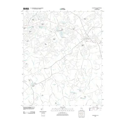
2011 Map of Loganville
USGS Topo · Published 2011About this map
Loganville anchors this landscape of the Georgia Piedmont, appearing as a developed hub surrounded by a complex network of residential subdivisions and watershed management structures. The area is defined by the branching tributaries of Big Haynes Creek and Little Haynes Creek, where numerous dams like the Bushy Haynes Creek Watershed Structure Number 21 Dam and Lake Carlton Dam have created local reservoirs for recreation and water control. Local history and genealogy are anchored by Hillcrest Cemetery, Old Zion Cemetery, and Plummer Cemetery.
Find a feature on this map
96 named features on this map. Tap any name to fly to it.
Don’t see what you’re looking for? This feature index may not catch every label — zoom into the map to look around manually.
Map Details
Editions of this 2011 Loganville Map
This is the sole edition of this map. No revisions or reprints were ever made.
Other maps of this area

1888 · Atlanta
USGS Topo · 1:125,000

1890 · Atlanta
USGS Topo · 1:125,000

1892 · Atlanta
USGS Topo · 1:125,000

1895 · Atlanta
USGS Topo · 1:125,000

1896 · Monroe
USGS Topo · 1:125,000

1953 · Atlanta
USGS Topo · 1:250,000

1953 · Athens
USGS Topo · 1:250,000

1956 · Snellville
USGS Topo · 1:24,000

1956 · Conyers
USGS Topo · 1:24,000

1957 · Atlanta
USGS Topo · 1:250,000