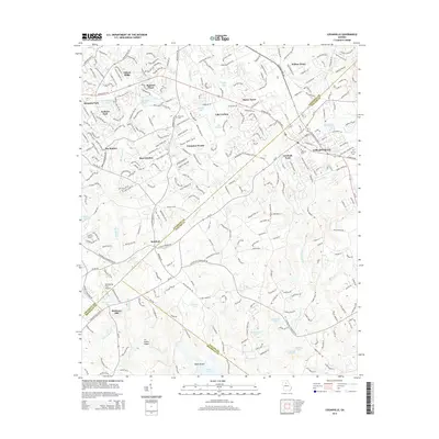
2014 Map of Loganville
USGS Topo · Published 2014About this map
Loganville serves as the focal point of this 2014 survey, where the convergence of Athens Hwy SW and Atlanta Hwy marks a landscape transitioning from suburban residential pockets to rural woodland. The map details a corridor of growth defined by established neighborhoods like Summit Chase, Rose Garden, and Compton Woods, while simultaneously preserving its agricultural and natural character through features like McElroys Mill and Indian Shoals.
Find a feature on this map
47 named features on this map. Tap any name to fly to it.
Don’t see what you’re looking for? This feature index may not catch every label — zoom into the map to look around manually.
Map Details
Editions of this 2014 Loganville Map
This is the sole edition of this map. No revisions or reprints were ever made.
Other maps of this area

1888 · Atlanta
USGS Topo · 1:125,000

1890 · Atlanta
USGS Topo · 1:125,000

1892 · Atlanta
USGS Topo · 1:125,000

1895 · Atlanta
USGS Topo · 1:125,000

1896 · Monroe
USGS Topo · 1:125,000

1953 · Atlanta
USGS Topo · 1:250,000

1953 · Athens
USGS Topo · 1:250,000

1956 · Snellville
USGS Topo · 1:24,000

1956 · Conyers
USGS Topo · 1:24,000

1957 · Atlanta
USGS Topo · 1:250,000