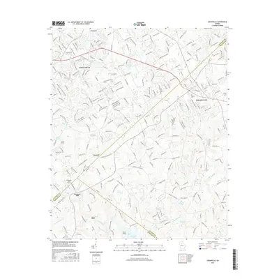
2017 Map of Loganville
USGS Topo · Published 2017About this map
Snellville and Loganville serve as the primary anchors for this region where Gwinnett, Walton, and Rockdale counties converge. The landscape is defined by the headwaters of Big Haynes Cr and Brushy Fork, which feed into numerous small reservoirs such as Moons Lake and Hickman Lake. This 2017 edition reveals a transition from traditional rural landmarks like McElroys Mill to more modern infrastructure, including Lenora Airport and Whispering Pines Airport.
Find a feature on this map
35 named features on this map. Tap any name to fly to it.
Don’t see what you’re looking for? This feature index may not catch every label — zoom into the map to look around manually.
Map Details
Editions of this 2017 Loganville Map
This is the sole edition of this map. No revisions or reprints were ever made.
Other maps of this area

1888 · Atlanta
USGS Topo · 1:125,000

1890 · Atlanta
USGS Topo · 1:125,000

1892 · Atlanta
USGS Topo · 1:125,000

1895 · Atlanta
USGS Topo · 1:125,000

1896 · Monroe
USGS Topo · 1:125,000

1953 · Atlanta
USGS Topo · 1:250,000

1953 · Athens
USGS Topo · 1:250,000

1956 · Snellville
USGS Topo · 1:24,000

1956 · Conyers
USGS Topo · 1:24,000

1957 · Atlanta
USGS Topo · 1:250,000