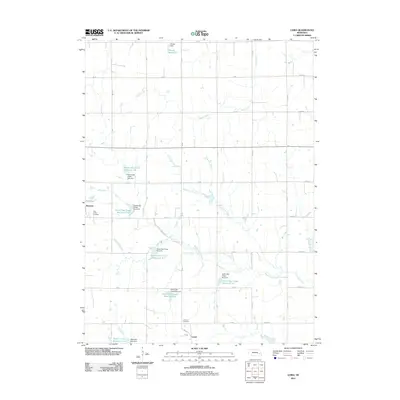
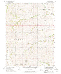
2011 Map of Loma
USGS Topo · Published 2011About this map
The agrarian landscape of eastern Butler County is defined by a sophisticated system of watershed management, centered on the small settlements of Loma and the eastern edge of Brainard. This survey illustrates a network of engineered water bodies, including several components of the Oak Creek drainage such as North Oak Creek Reservoir 6-A and North Oak Creek Reservoir 5-F. These reservoirs, supported by structures like Ptacek Dam, reflect the mid-to-late 20th-century emphasis on flood control and irrigation in the Nebraska plains.
Find a feature on this map
47 named features on this map. Tap any name to fly to it.
Don’t see what you’re looking for? This feature index may not catch every label — zoom into the map to look around manually.
Map Details
Editions of this 2011 Loma Map
This is the sole edition of this map. No revisions or reprints were ever made.
Other maps of this area
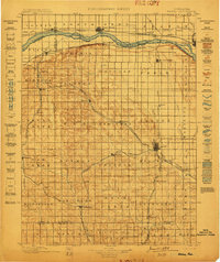
1899 · Wahoo
USGS Topo · 1:125,000
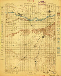
1899 · David City
USGS Topo · 1:125,000

1955 · Fremont
USGS Topo · 1:250,000

1957 · Fremont
USGS Topo · 1:250,000
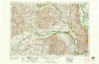
1958 · Fremont
USGS Topo · 1:250,000
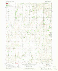
1965 · Brainard
USGS Topo · 1:24,000
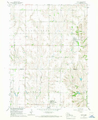
1966 · Dwight
USGS Topo · 1:24,000
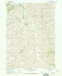
1968 · Bruno
USGS Topo · 1:24,000
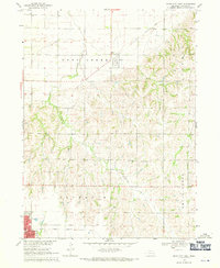
1968 · David City East
USGS Topo · 1:24,000
1969 · Touhy
USGS Topo · 1:24,000