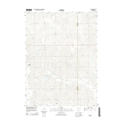
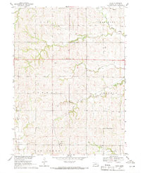
2014 Map of Loma
USGS Topo · Published 2014About this map
Loma and the eastern edge of Brainard anchor this rural landscape along the border of Butler and Saunders counties. The region is defined by an intricate network of drainage and water management, featuring numerous catchments like Ptacek Reservoir and Vandenberg Reservoir. These water bodies are connected by the winding paths of Skull Cr, Middle Oak Cr, and Hunters Slough, which carve through the undulating agricultural land.
Find a feature on this map
40 named features on this map. Tap any name to fly to it.
Don’t see what you’re looking for? This feature index may not catch every label — zoom into the map to look around manually.
Map Details
Editions of this 2014 Loma Map
This is the sole edition of this map. No revisions or reprints were ever made.
Other maps of this area

1899 · Wahoo
USGS Topo · 1:125,000

1899 · David City
USGS Topo · 1:125,000

1955 · Fremont
USGS Topo · 1:250,000

1957 · Fremont
USGS Topo · 1:250,000

1958 · Fremont
USGS Topo · 1:250,000
1965 · Brainard
USGS Topo · 1:24,000
1966 · Dwight
USGS Topo · 1:24,000

1968 · Bruno
USGS Topo · 1:24,000
1968 · David City East
USGS Topo · 1:24,000
1969 · Touhy
USGS Topo · 1:24,000