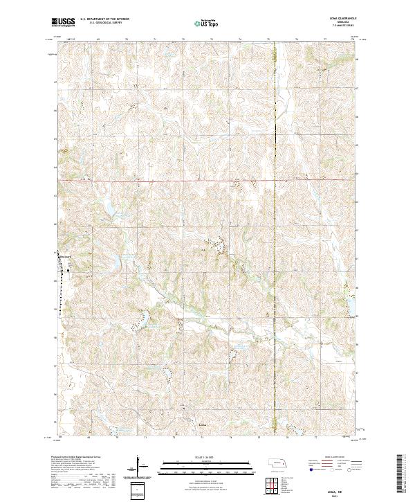
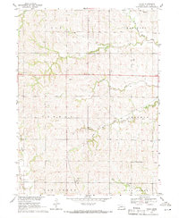
2021 Map of Loma
USGS Topo · Published 2021About this map
The rolling hills of eastern Butler and Saunders counties define this rural landscape, characterized by the winding headwaters of Skull Creek and Middle Oak Creek. In the southwest, the village of Brainard sits near the Holy Trinity Cemetery, while the smaller settlement of Loma serves as a southern anchor for the township roads. This area is heavily managed for water conservation, evidenced by a dense network of numbered basins including North Oak Creek Reservoir 6-A and Butler County Reservoir 63-A. For recreational interests, the Oak Creek Trail cuts through the southwestern corner, following the path of former transportation lines. The map reveals a highly structured grid of section lines and township roads like RD 28 and Co RD M that cross the varying elevations of the Nebraska prairie.
Find a feature on this map
51 named features on this map. Tap any name to fly to it.
Don’t see what you’re looking for? This feature index may not catch every label — zoom into the map to look around manually.
Map Details
Editions of this 2021 Loma Map
This is the sole edition of this map. No revisions or reprints were ever made.
Other maps of this area

1899 · Wahoo
USGS Topo · 1:125,000

1899 · David City
USGS Topo · 1:125,000

1955 · Fremont
USGS Topo · 1:250,000

1957 · Fremont
USGS Topo · 1:250,000

1958 · Fremont
USGS Topo · 1:250,000
1965 · Brainard
USGS Topo · 1:24,000
1966 · Dwight
USGS Topo · 1:24,000

1968 · Bruno
USGS Topo · 1:24,000
1968 · David City East
USGS Topo · 1:24,000
1969 · Touhy
USGS Topo · 1:24,000