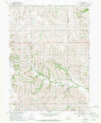
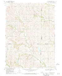
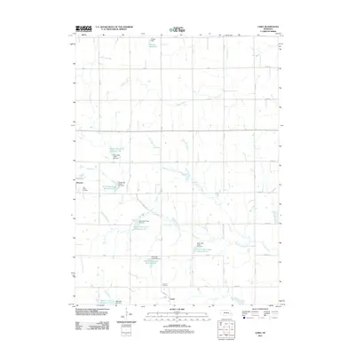
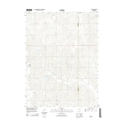
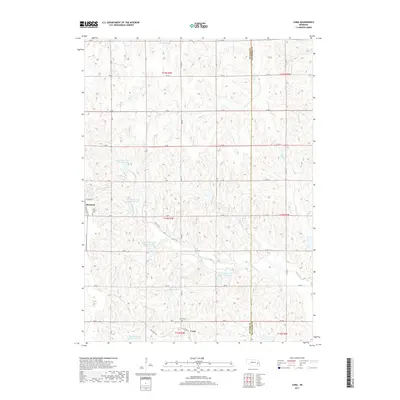
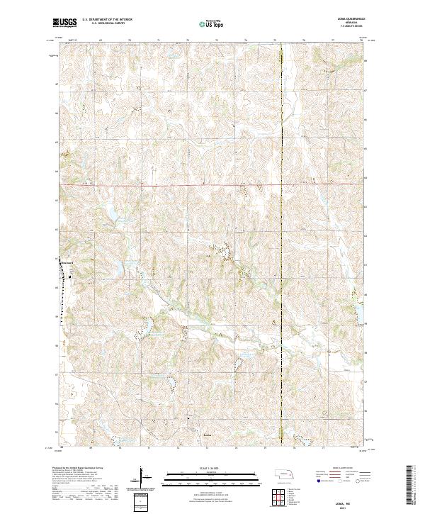
1969 Map of Loma
USGS Topo · Published 1971About this map
Brainard and the smaller settlement of Loma anchor this late 1960s survey of the eastern plains of Butler County. The landscape is defined by the headwaters and drainage of Oak Creek and Middle Oak Creek, which create a complex network of ravines and draws across the townships of Oak Creek, Richardson, and Newman. The Union Pacific railroad corridor cuts through the western edge of the map, serving the grain-handling infrastructure in Brainard.
Find a feature on this map
20 named features on this map. Tap any name to fly to it.
Don’t see what you’re looking for? This feature index may not catch every label — zoom into the map to look around manually.
Map Details
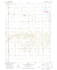
Editions of this 1969 Loma Map
This is the sole edition of this map. No revisions or reprints were ever made.
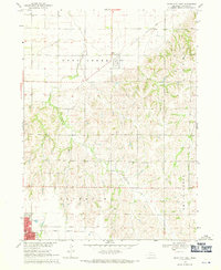
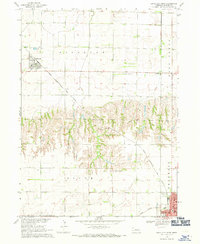
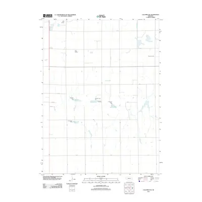
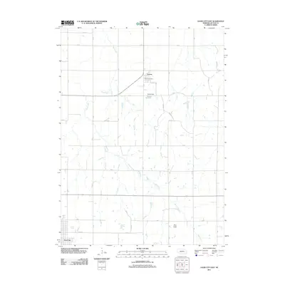
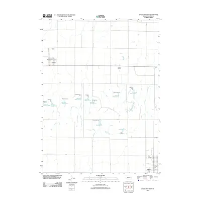
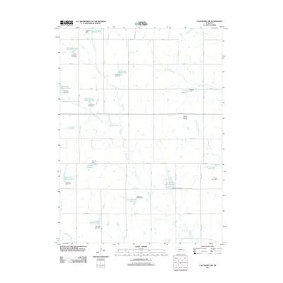
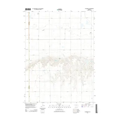
Historical Maps of Brainard Through Time
25 maps found
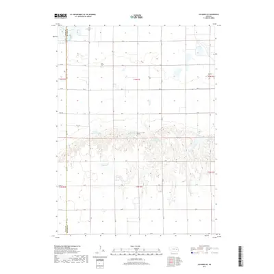
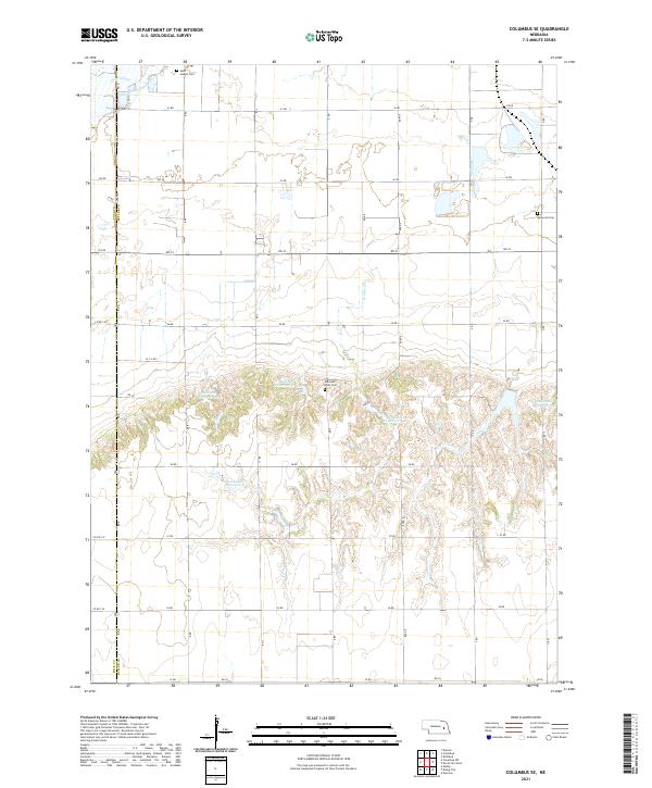
1958 Columbus SE
Butler County, NE
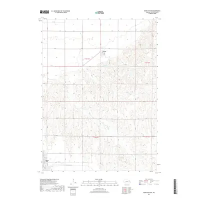
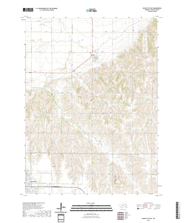
1968 David City East
Butler County, NE
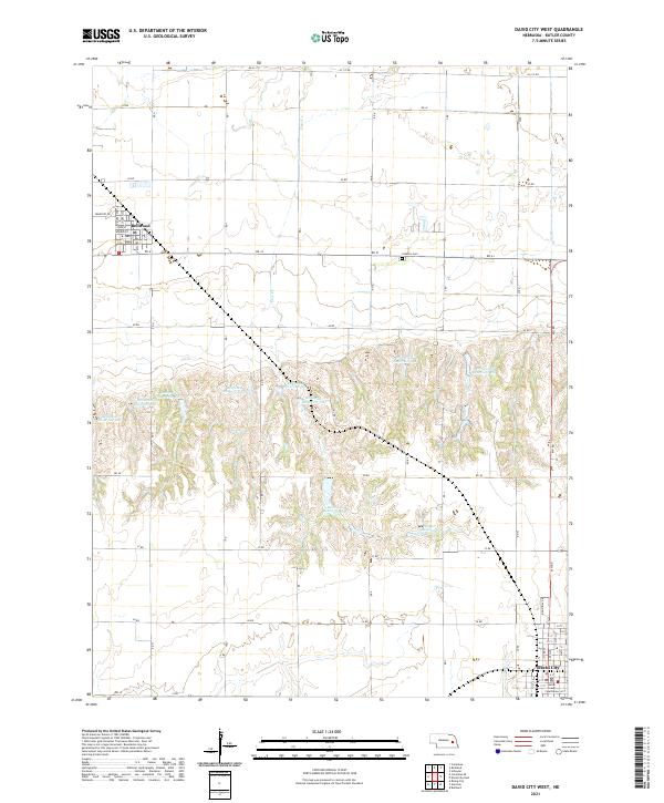
1968 David City West
Butler County, NE
1969 Loma
Butler County, NE
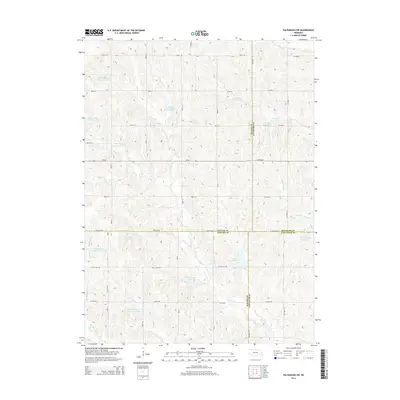
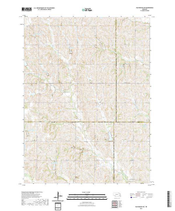
1969 Valparaiso SW
Butler County, NE
2011 Columbus SE
Butler County, NE
2011 David City East
Butler County, NE
2011 David City West
Butler County, NE
2011 Loma
Butler County, NE
2011 Valparaiso SW
Butler County, NE
2014 Columbus SE
Butler County, NE
2014 David City East
Butler County, NE

2014 David City West
Butler County, NE
2014 Loma
Butler County, NE
2014 Valparaiso SW
Butler County, NE
2017 Columbus SE
Butler County, NE
2017 David City East
Butler County, NE
2017 David City West
Butler County, NE
2017 Loma
Butler County, NE
2017 Valparaiso SW
Butler County, NE
2021 Columbus SE
Butler County, NE
2021 David City East
Butler County, NE
2021 David City West
Butler County, NE
2021 Loma
Butler County, NE
2021 Valparaiso SW
Butler County, NE