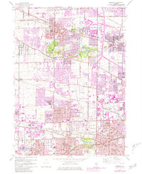
1962 Map of Lombard
USGS Topo · Published 1981About this map
Bloomingdale and Roselle anchor the northern reaches of this DuPage County landscape, showing the suburban transition of the early 1960s with extensive photorevisions into the late 1970s. The area is defined by its recreation and infrastructure, from the sprawling Medinah Country Club and Nordic Hills Country Club to the critical broadcast infrastructure of the Radio Towers (WBBM) and Radio Towers (WMAQ). The Chicago Milwaukee St Paul and Pacific railroad bisects the northern towns, while the East Branch Du Page River meanders south toward Lombard and Wheaton. Genealogy researchers will find numerous parochial landmarks such as St Pauls Cem and St Johns Sch, alongside industrial features like the Gravel Pit near Bloomingdale. The map captures the densifying residential patterns around Glendale Heights and Addison just before the full maturation of the western Chicago suburbs.
Find a feature on this map
95 named features on this map. Tap any name to fly to it.
Don’t see what you’re looking for? This feature index may not catch every label — zoom into the map to look around manually.
Map Details
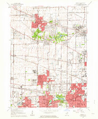
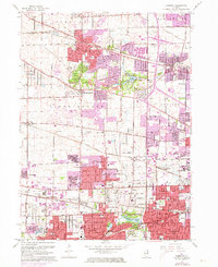
Editions of this 1962 Lombard Map
3 editions found
Other maps of this area

1891 · Riverside
USGS Topo · 1:62,500

1893 · Riverside
USGS Topo · 1:62,500

1900 · Riverside
USGS Topo · 1:62,500

1900 · Highwood
USGS Topo · 1:62,500

1901 · Riverside
USGS Topo · 1:62,500

1908 · Wheaton
USGS Topo · 1:62,500

1923 · Barrington
USGS Topo · 1:62,500
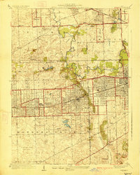
1927 · Hinsdale
USGS Topo · 1:24,000

1927 · Arlington Heights
USGS Topo · 1:24,000

1928 · Elmhurst
USGS Topo · 1:24,000