
1897 Map of London
USGS Topo · Published 1897About this map
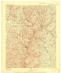
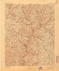
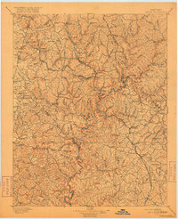
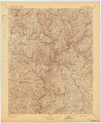
The Rockcastle River snakes through a deeply dissected landscape in this late nineteenth-century survey, defining the rugged terrain between Mt. Vernon and London. This era is marked by the critical influence of the Louisville and Nashville Railroad, specifically its Knoxville Branch, which dictated the growth of mountain settlements like Livingston, Wildie, and Hazlepatch. The map reveals a transition from traditional river-bound life to a rail-dependent economy, with small communities such as Gum Sulphur and Maretburg clustered along the tracks. High points like Brushy Mtn. and Sutton Knob overlook a dense network of watercourses, including Roundstone Cr. and Buck Cr., illustrating the complex drainage patterns that shaped local travel and early homesteading before modern highways altered the Kentucky interior.
Find a feature on this map
130 named features on this map. Tap any name to fly to it.
Don’t see what you’re looking for? This feature index may not catch every label — zoom into the map to look around manually.
Map Details
Editions of this 1897 London Map
5 editions found
Other maps of this area

1886 · Cumberland Gap
USGS Topo · 1:125,000

1888 · Cumberland Gap
USGS Topo · 1:125,000

1890 · Williamsburg
USGS Topo · 1:125,000

1891 · Manchester
USGS Topo · 1:125,000

1891 · Cumberland Gap
USGS Topo · 1:125,000

1892 · Richmond
USGS Topo · 1:125,000

1892 · Beattyville
USGS Topo · 1:125,000

1893 · London
USGS Topo · 1:125,000

1894 · Williamsburg
USGS Topo · 1:125,000

1897 · Richmond
USGS Topo · 1:125,000