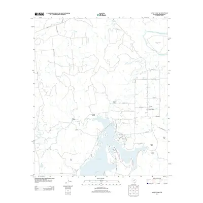
2012 Map of Lone Camp
USGS Topo · Published 2012About this map
The Brazos River meanders through the northern reaches of this Palo Pinto County landscape, creating the sharp loop known as Village Bend. To the south, the expansion of the Palo Pinto Cr Reservoir has reshaped the local topography, with various residential roads like N Lakeview Dr and Lake Point Dr lining the developed shoreline. The small community of Lone Camp sits centrally, serving as a hub for the surrounding ranch and energy country.
Find a feature on this map
55 named features on this map. Tap any name to fly to it.
Don’t see what you’re looking for? This feature index may not catch every label — zoom into the map to look around manually.
Map Details
Editions of this 2012 Lone Camp Map
This is the sole edition of this map. No revisions or reprints were ever made.
Other maps of this area

1891 · Palo Pinto
USGS Topo · 1:125,000

1918 · Palo Pinto
USGS Topo · 1:125,000

1924 · Palo Pinto 2-c
USGS Topo · 1:48,000

1925 · Palo Pinto 4-b
USGS Topo · 1:48,000

1927 · Pickwick
USGS Topo · 1:62,500

1927 · Mineral Wells
USGS Topo · 1:62,500

1931 · Santo
USGS Topo · 1:62,500

1954 · Abilene
USGS Topo · 1:250,000

1958 · Abilene
USGS Topo · 1:250,000

1958 · Palo Pinto
USGS Topo · 1:62,500