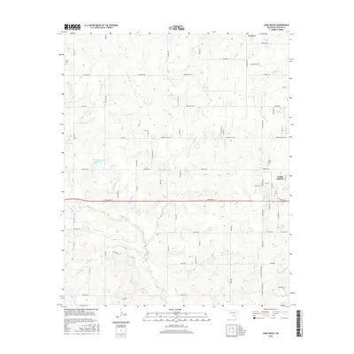
2016 Map of Lone Grove
USGS Topo · Published 2016About this map
Lone Grove serves as the primary population center in this part of Oklahoma, situated along the corridor of W Broadway St. The surrounding landscape is defined by the drainage systems of Walnut Bayou and Cottonwood Cr, with several artificial impoundments like Upper Bayou Site Number 5 Reservoir dotting the terrain. The road network reflects a shift from traditional section-line routes to more modern residential developments, particularly near the town center.
Find a feature on this map
72 named features on this map. Tap any name to fly to it.
Don’t see what you’re looking for? This feature index may not catch every label — zoom into the map to look around manually.
Map Details
Editions of this 2016 Lone Grove Map
This is the sole edition of this map. No revisions or reprints were ever made.
Other maps of this area

1901 · Ardmore
USGS Topo · 1:125,000

1918 · Ardmore
USGS Topo · 1:125,000

1957 · Ardmore
USGS Topo · 1:250,000

1963 · Ardmore
USGS Topo · 1:250,000

1964 · Ardmore West
USGS Topo · 1:24,000

1964 · Overbrook
USGS Topo · 1:24,000

1964 · Springer
USGS Topo · 1:24,000

1969 · Healdton
USGS Topo · 1:24,000

1969 · Lone Grove
USGS Topo · 1:24,000
1969 · Healdton SW
USGS Topo · 1:24,000