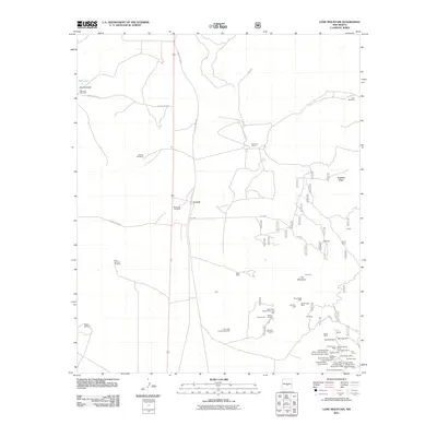
2011 Map of Lone Mountain
USGS Topo · Published 2011About this map
Coyote and the neighboring Dunning Ranch sit at the center of this 2011 survey, a landscape defined by its intense history of mineral extraction. The region surrounding Lone Mountain is densely marked by a high concentration of named mining claims and industrial sites, including the L M and M Incorporated Mill and the Julia Ann Prospect. The sheer volume of individual operations clustered together, such as the Cindy Mine, Black Knight Mine, and Lady Godiva Mine, suggests a complex network of geological surveys and historical prospecting efforts that have long shaped this part of Lincoln County.
Find a feature on this map
80 named features on this map. Tap any name to fly to it.
Don’t see what you’re looking for? This feature index may not catch every label — zoom into the map to look around manually.
Map Details
Editions of this 2011 Lone Mountain Map
This is the sole edition of this map. No revisions or reprints were ever made.
Other maps of this area

1934 · Capitan
USGS Topo · 1:48,000

1937 · Capitan
USGS Topo · 1:62,500

1938 · Carrizozo
USGS Topo · 1:48,000

1943 · Carrizozo
USGS Topo · 1:62,500

1950 · Carrizozo
USGS Topo · 1:62,500

1950 · Little Black Peak
USGS Topo · 1:62,500

1955 · Roswell
USGS Topo · 1:250,000

1958 · Roswell
USGS Topo · 1:250,000

1962 · Roswell
USGS Topo · 1:250,000

1973 · Ancho
USGS Topo · 1:24,000