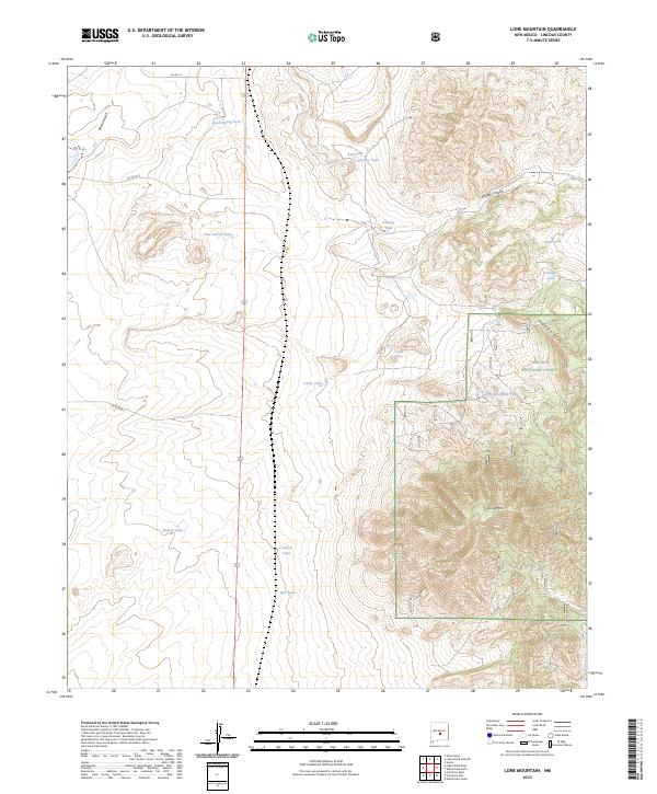
2023 Map of Lone Mountain
USGS Topo · Published 2023About this map
Lincoln National Forest land dominates the eastern portion of this quadrangle, where the terrain rises sharply toward the summit of Lone Mtn. This high-desert landscape is defined by its water management, evidenced by a dense network of catchment features such as Bond Spring Tank, Red Tank, and Harkey Tank. The intricate topography includes the steep descent of Hogback Ridge and the winding passage of Coyote Canyon.
Find a feature on this map
25 named features on this map. Tap any name to fly to it.
Don’t see what you’re looking for? This feature index may not catch every label — zoom into the map to look around manually.
Map Details
Editions of this 2023 Lone Mountain Map
This is the sole edition of this map. No revisions or reprints were ever made.
Other maps of this area

1934 · Capitan
USGS Topo · 1:48,000

1937 · Capitan
USGS Topo · 1:62,500

1938 · Carrizozo
USGS Topo · 1:48,000

1943 · Carrizozo
USGS Topo · 1:62,500

1950 · Carrizozo
USGS Topo · 1:62,500

1950 · Little Black Peak
USGS Topo · 1:62,500

1955 · Roswell
USGS Topo · 1:250,000

1958 · Roswell
USGS Topo · 1:250,000

1962 · Roswell
USGS Topo · 1:250,000

1973 · Ancho
USGS Topo · 1:24,000