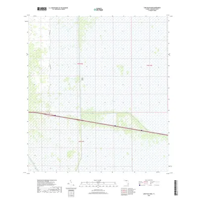
2018 Map of Lone Palm Head
USGS Topo · Published 2018About this map
The Everglades define this portion of Broward County, where the vast subtropical wetlands are partitioned by an industrial water management system. The map showcases the geometric precision of Florida's southern drainage infrastructure, dominated by the prominent C-60 and L-28 canals which cut through the sawgrass landscape. This modern survey reflects the complex balance between environmental conservation and regional water control in the early 21st century.
Find a feature on this map
9 named features on this map. Tap any name to fly to it.
Don’t see what you’re looking for? This feature index may not catch every label — zoom into the map to look around manually.
Map Details
Editions of this 2018 Lone Palm Head Map
This is the sole edition of this map. No revisions or reprints were ever made.
Other maps of this area

1956 · West Palm Beach
USGS Topo · 1:250,000

1957 · West Palm Beach
USGS Topo · 1:250,000

1958 · West Palm Beach
USGS Topo · 1:250,000

1973 · Everglades 4 NW
USGS Topo · 1:24,000
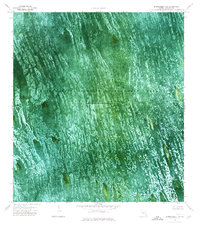
1973 · Everglades 4 SW
USGS Topo · 1:24,000

1973 · Everglades 3 NE
USGS Topo · 1:24,000

1974 · Everglades 1 SW
USGS Topo · 1:24,000

1974 · Everglades 2 SW
USGS Topo · 1:24,000

1974 · Everglades 2 SE
USGS Topo · 1:24,000
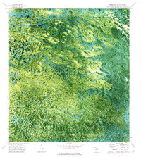
1974 · Everglades 3 SW
USGS Topo · 1:24,000