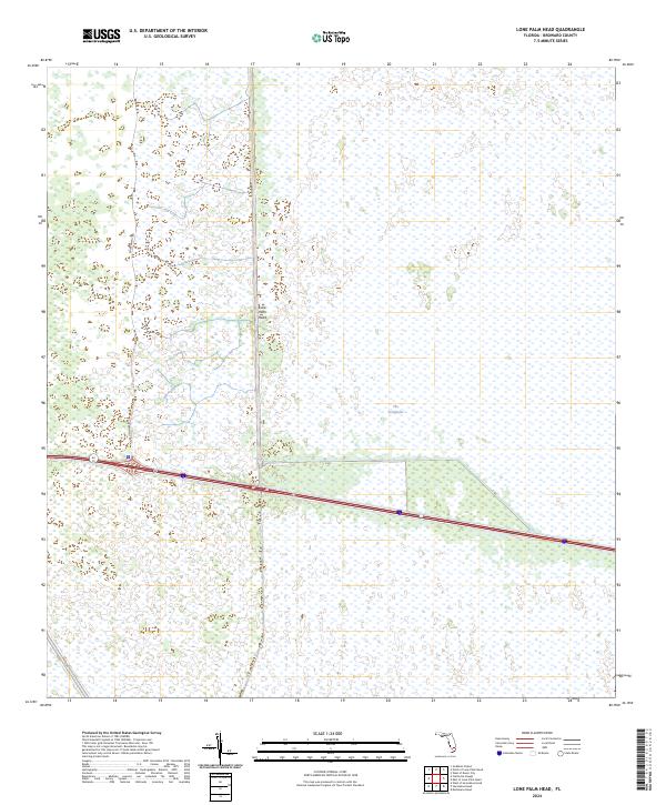
2024 Map of Lone Palm Head
USGS Topo · Published 2024About this map
The Everglades landscape dominates this modern 2024 survey, illustrating a massive expanse of wetlands within Broward County. The terrain is punctuated by small island-like tree hammocks, the most prominent being Lone Palm Head near the center of the sheet. This environment reflects the complex intersection of natural marshlands and modern water management infrastructure, evidenced by the presence of large drainage features like C-60 and L-28.
Find a feature on this map
10 named features on this map. Tap any name to fly to it.
Don’t see what you’re looking for? This feature index may not catch every label — zoom into the map to look around manually.
Map Details
Editions of this 2024 Lone Palm Head Map
This is the sole edition of this map. No revisions or reprints were ever made.
Other maps of this area

1956 · West Palm Beach
USGS Topo · 1:250,000

1957 · West Palm Beach
USGS Topo · 1:250,000

1958 · West Palm Beach
USGS Topo · 1:250,000

1973 · Everglades 4 NW
USGS Topo · 1:24,000
1973 · Everglades 4 SW
USGS Topo · 1:24,000

1973 · Everglades 3 NE
USGS Topo · 1:24,000

1974 · Everglades 1 SW
USGS Topo · 1:24,000

1974 · Everglades 2 SW
USGS Topo · 1:24,000

1974 · Everglades 2 SE
USGS Topo · 1:24,000
1974 · Everglades 3 SW
USGS Topo · 1:24,000