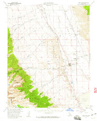
1958 Map of Lone Pine
USGS Topo · Published 1960About this map
The eastern escarpment of the Sierra Nevada drops sharply into Owens Valley on this mid-century survey, centered on the settlement of Lone Pine. The landscape is dominated by the massive peaks of the Inyo National Forest, including Mt Whitney, Mount Langley, and Mount Corcoran. To the west, the Whitney Portal Trail marks the gateway to the high peaks, while the Alabama Hills and the iconic Movie Flat sit just below the timberline. The valley floor reveals a complex water and transit network, including the Los Angeles Aqueduct and the Southern Pacific railroad line connecting Owenyo and Lone Pine Station. In the north, the site of Manzanar and its associated Manzanar Airport sit along the banks of the Owens River, providing a clear look at the valley's infrastructure before significant later development.
Find a feature on this map
43 named features on this map. Tap any name to fly to it.
Don’t see what you’re looking for? This feature index may not catch every label — zoom into the map to look around manually.
Map Details
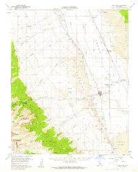
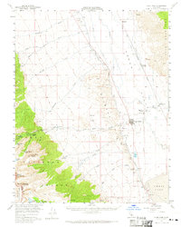
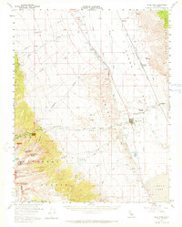
Editions of this 1958 Lone Pine Map
4 editions found
Other maps of this area

1905 · Olancha
USGS Topo · 1:125,000

1907 · Olancha
USGS Topo · 1:125,000

1907 · Mt. Whitney
USGS Topo · 1:125,000

1908 · Ballarat
USGS Topo · 1:250,000

1913 · Ballarat
USGS Topo · 1:250,000

1919 · Mt. Whitney
USGS Topo · 1:125,000

1937 · Mt. Whitney
USGS Topo · 1:125,000

1948 · Death Valley
USGS Topo · 1:250,000

1948 · Fresno
USGS Topo · 1:250,000

1950 · New York Butte
USGS Topo · 1:62,500