Loading...
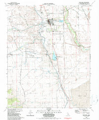
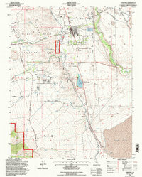
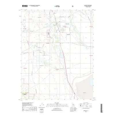
Loading map...1958 Map of Lone Pine
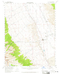
USGS Topo · Published 1966About this map
The Alabama Hills and the steep eastern escarpment of the Sierra Nevada define this mid-century landscape in the Owens Valley. From the settlement of Lone Pine, the Whitney Portal Road leads toward the high peaks of Sequoia National Park, including Mount Langley and Lone Pine Peak. The map documents critical water infrastructure of the era, most notably the Los Angeles Aqueduct and the Owens River, alongside irrigation features like the Eclipse Ditch and Mc Iver Ditch.
Find a feature on this map
48 named features on this map. Tap any name to fly to it.
Don’t see what you’re looking for? This feature index may not catch every label — zoom into the map to look around manually.
Map Details
Date Portrayed1958
Date Published1966
PublisherU.S. Geological Survey
Map TypeTopographic
Scale1:62,500
Physical Dimensions16.6 x 20.8 inches
Editions of this 1958 Lone Pine Map
4 editions found
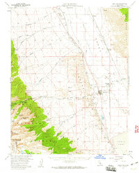
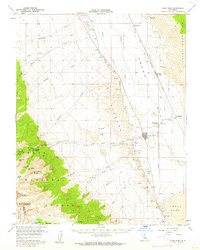
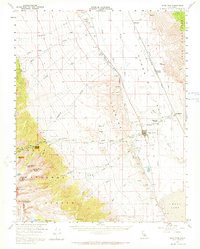
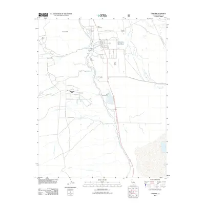
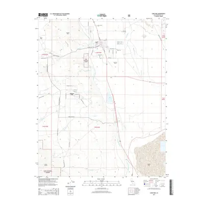
Historical Maps of Lone Pine Through Time
7 maps found
Featured Locations
Source Details
SourceU.S. Geological Survey
CopyrightPublic Domain