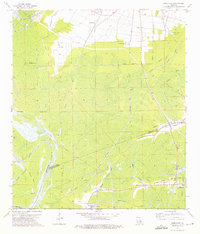
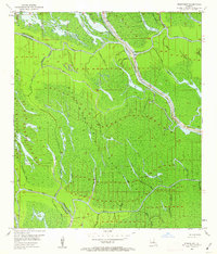
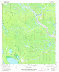
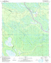
1974 Map of Lone Star
USGS Topo · Published 1975This historical map portrays the area of Lone Star in 1974, primarily covering Iberville Parish as well as portions of Assumption Parish and Iberia Parish. Featuring a scale of 1:24000, this map provides a highly detailed snapshot of the terrain, roads, buildings, counties, and historical landmarks in the Lone Star region at the time. Published in 1975, it is one of 3 known editions of this map due to revisions or reprints.
Find a feature on this map
34 named features on this map. Tap any name to fly to it.
Don’t see what you’re looking for? This feature index may not catch every label — zoom into the map to look around manually.
Map Details
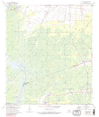
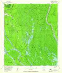
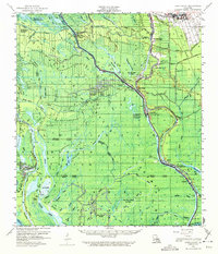
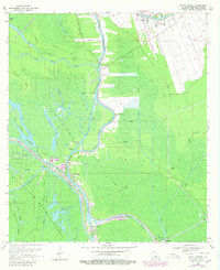
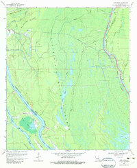
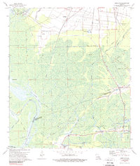
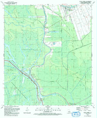
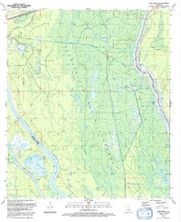
Editions of this 1974 Lone Star Map
3 editions found
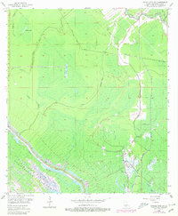
Historical Maps of Assumption Parish Through Time
17 maps found

1935 Chicot Lake
Iberville Parish, LA

1935 Osca Bayou
Iberville Parish, LA
1953 Cow Bayou
Iberville Parish, LA
1953 Grosse Tete SW
Iberville Parish, LA
1953 Pigeon Bay
Iberville Parish, LA

1954 Chicot Lake
Iberville Parish, LA

1955 Chicot Lake
Iberville Parish, LA

1955 Osca Bayou
Iberville Parish, LA
1959 Lake Chicot
Iberville Parish, LA
1969 Bayou Sorrel
Iberville Parish, LA
1969 Cow Bayou
Iberville Parish, LA
1969 Grand River
Iberville Parish, LA
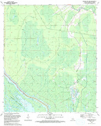
1974 Lone Star
Iberville Parish, LA
1992 Bayou Sorrel
Iberville Parish, LA
1992 Cow Bayou
Iberville Parish, LA
1992 Grand River
Iberville Parish, LA
1992 Grosse Tete SW
Iberville Parish, LA