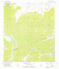
1974 Map of Lone Star
USGS Topo · Published 1975About this map
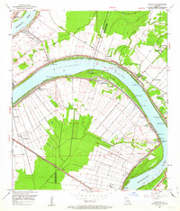
The low-lying swamplands of the Atchafalaya Basin come into focus in the mid-1970s, where the convergence of Iberville and Assumption Parishes meets the intricate hydrology of the Louisiana delta. The landscape is defined by its industrial adaptation to the wetlands, notably the White Castle Oil Field in the north and the Napoleonville Oil and Gas Field near the settlement of Grand Bayou. These extraction sites are linked by a complex network of pipelines and a Logging Canal that cut through the dense cypress and tupelo brakes.
Find a feature on this map
34 named features on this map. Tap any name to fly to it.
Don’t see what you’re looking for? This feature index may not catch every label — zoom into the map to look around manually.
Map Details
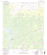
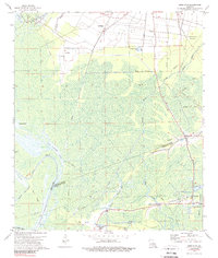
Editions of this 1974 Lone Star Map
3 editions found
Other maps of this area

1935 · Chicot Lake
USGS Topo · 1:62,500

1936 · White Castle
USGS Topo · 1:62,500

1945 · New Orleans
USGS Topo · 1:250,000

1948 · Foster
USGS Topo · 1:62,500

1953 · Napoleonville
USGS Topo · 1:62,500

1953 · Crescent
USGS Topo · 1:24,000
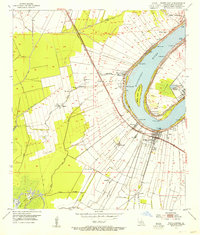
1953 · White Castle
USGS Topo · 1:24,000
1953 · Carville
USGS Topo · 1:24,000

1954 · Chicot Lake
USGS Topo · 1:62,500

1954 · Baton Rouge
USGS Topo · 1:250,000