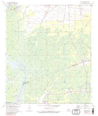
1974 Map of Lone Star
USGS Topo · Published 1989About this map
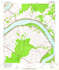
Industrial energy infrastructure and swampy lowlands define this survey of Iberville and Assumption Parishes. The White Castle Oil Field dominates the northwest corner, while the Napoleonville Oil and Gas Field stretches across the southern reach, illustrating the mid-century petroleum economy of the Atchafalaya Basin. Small settlements like Goldridge, Lone Star, and Bayou Corne are concentrated near the periphery of a dense network of waterways including Black Bayou, False Branch, and the sprawling Lake Natchez. The landscape is heavily intersected by pipelines and drainage canals, characteristic of this subsidence-prone region. Toward the south, intricate natural drainages such as Chopin Bayou, Possum Bayou, and the Postillion Bayou weave through the marshland, providing a detailed look at the complex hydrology before significant modern alterations.
Find a feature on this map
35 named features on this map. Tap any name to fly to it.
Don’t see what you’re looking for? This feature index may not catch every label — zoom into the map to look around manually.
Map Details
Editions of this 1974 Lone Star Map
3 editions found
Other maps of this area

1935 · Chicot Lake
USGS Topo · 1:62,500

1936 · White Castle
USGS Topo · 1:62,500

1945 · New Orleans
USGS Topo · 1:250,000

1948 · Foster
USGS Topo · 1:62,500

1953 · Napoleonville
USGS Topo · 1:62,500

1953 · Crescent
USGS Topo · 1:24,000
1953 · White Castle
USGS Topo · 1:24,000
1953 · Carville
USGS Topo · 1:24,000

1954 · Chicot Lake
USGS Topo · 1:62,500

1954 · Baton Rouge
USGS Topo · 1:250,000