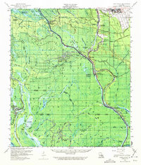
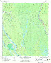
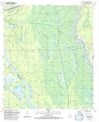
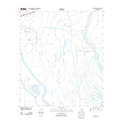
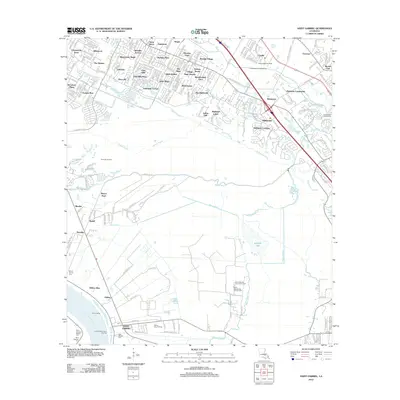
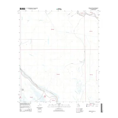
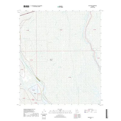
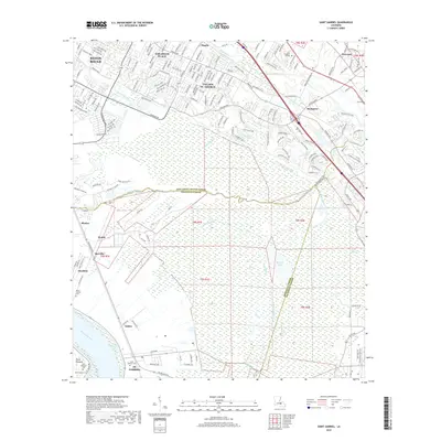
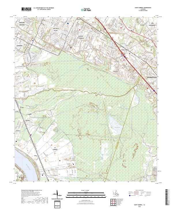
1959 Map of Lake Chicot
USGS Topo · Published 1972About this map
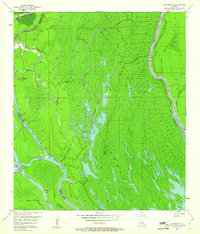
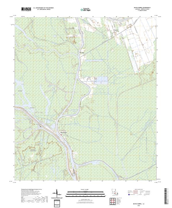
Grand River and its intricate network of bayous dominate this 1959 landscape, where the shifting boundaries of Iberville, St. Martin, and Iberia Parishes meet. The area reflects a mid-century reliance on both the waterways and the subsurface, with the Bayou Sorrel Lock serving as a critical infrastructure point for navigation while the Bayou Sorrel Oil Field, Chicot Lake Oil Field, and Bayou Pigeon Oil Field indicate the era's heavy industrial activity. Small riverside settlements and religious centers such as Crescent, Sorrel, and Pigeon anchor the community, many reachable by La 75 or La 77.
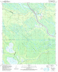
Find a feature on this map
77 named features on this map. Tap any name to fly to it.
Don’t see what you’re looking for? This feature index may not catch every label — zoom into the map to look around manually.
Map Details
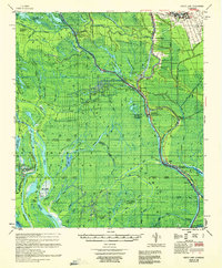
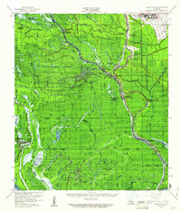
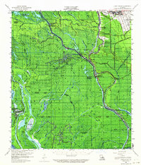
Editions of this 1959 Lake Chicot Map
4 editions found
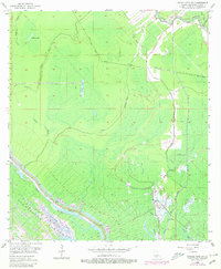
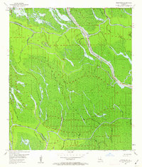
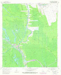
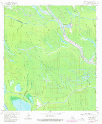
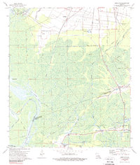
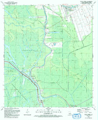
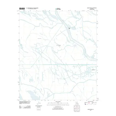
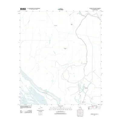
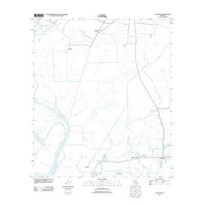
Historical Maps of Bayou Sorrel Through Time
47 maps found

1935 Chicot Lake
Iberville Parish, LA

1935 Osca Bayou
Iberville Parish, LA
1953 Cow Bayou
Iberville Parish, LA
1953 Grosse Tete SW
Iberville Parish, LA
1953 Pigeon Bay
Iberville Parish, LA

1954 Chicot Lake
Iberville Parish, LA

1955 Chicot Lake
Iberville Parish, LA

1955 Osca Bayou
Iberville Parish, LA
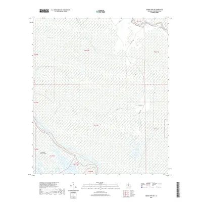
1959 Lake Chicot
Iberville Parish, LA
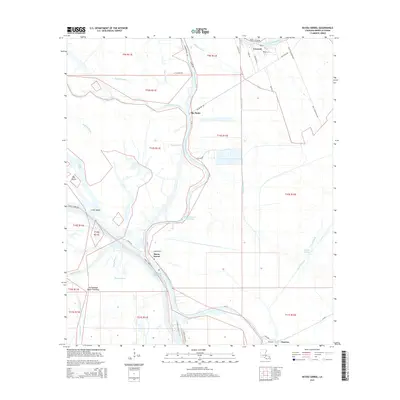
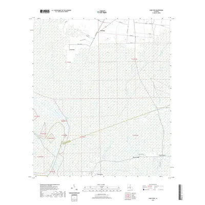
1969 Bayou Sorrel
Iberville Parish, LA
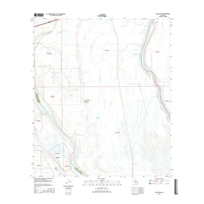
1969 Cow Bayou
Iberville Parish, LA
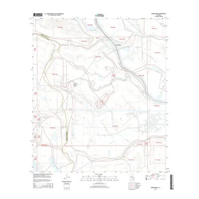
1969 Grand River
Iberville Parish, LA
1974 Lone Star
Iberville Parish, LA
1992 Bayou Sorrel
Iberville Parish, LA
1992 Cow Bayou
Iberville Parish, LA
1992 Grand River
Iberville Parish, LA
1992 Grosse Tete SW
Iberville Parish, LA
2012 Bayou Sorrel
Iberville Parish, LA
2012 Cow Bayou
Iberville Parish, LA
2012 Grand River
Iberville Parish, LA
2012 Grosse Tete SW
Iberville Parish, LA
2012 Lone Star
Iberville Parish, LA
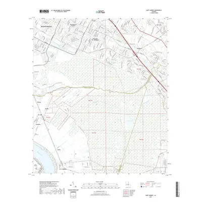
2012 Saint Gabriel
Iberville Parish, LA
2015 Bayou Sorrel
Iberville Parish, LA
2015 Cow Bayou
Iberville Parish, LA
2015 Grand River
Iberville Parish, LA
2015 Grosse Tete SW
Iberville Parish, LA
2015 Lone Star
Iberville Parish, LA
2015 Saint Gabriel
Iberville Parish, LA
2018 Bayou Sorrel
Iberville Parish, LA
2018 Cow Bayou
Iberville Parish, LA
2018 Grand River
Iberville Parish, LA
2018 Grosse Tete SW
Iberville Parish, LA
2018 Lone Star
Iberville Parish, LA
2018 Saint Gabriel
Iberville Parish, LA
2020 Bayou Sorrel
Iberville Parish, LA
2020 Cow Bayou
Iberville Parish, LA
2020 Grand River
Iberville Parish, LA
2020 Grosse Tete SW
Iberville Parish, LA
2020 Lone Star
Iberville Parish, LA
2020 Saint Gabriel
Iberville Parish, LA
2024 Bayou Sorrel
Iberville Parish, LA
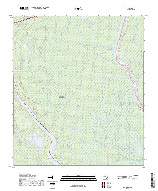
2024 Cow Bayou
Iberville Parish, LA
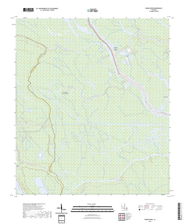
2024 Grand River
Iberville Parish, LA
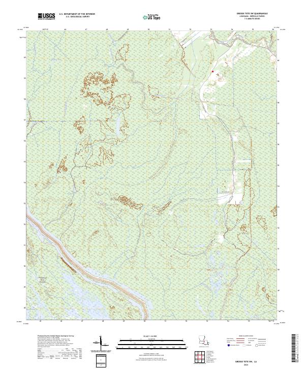
2024 Grosse Tete SW
Iberville Parish, LA
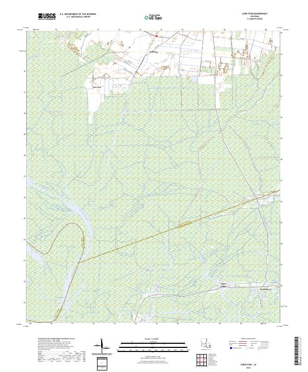
2024 Lone Star
Iberville Parish, LA
2024 Saint Gabriel
Iberville Parish, LA