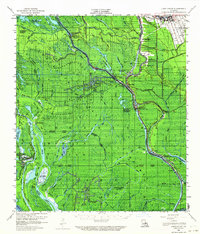
1959 Map of Lake Chicot
USGS Topo · Published 1964About this map
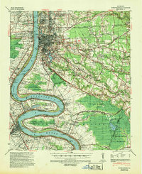
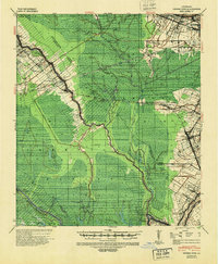
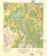
Atchafalaya River waters dominate this low-lying stretch of southern Louisiana, where the intricate network of the Atchafalaya Basin shapes every aspect of human settlement and industry. By the late 1950s, the landscape was a complex mosaic of bayous and lakes defined by extensive energy extraction. The map reveals the growth of local industry through the Bayou Sorrel Oil Field and the Sullivans Lake Gas Field, highlighting how natural resource extraction integrated into the swampy terrain.
Find a feature on this map
70 named features on this map. Tap any name to fly to it.
Don’t see what you’re looking for? This feature index may not catch every label — zoom into the map to look around manually.
Map Details
Editions of this 1959 Lake Chicot Map
4 editions found
Other maps of this area

1908 · Baton Rouge
USGS Topo · 1:62,500

1935 · Osca Bayou
USGS Topo · 1:62,500

1935 · Chicot Lake
USGS Topo · 1:62,500

1936 · White Castle
USGS Topo · 1:62,500

1937 · Jeanerette
USGS Topo · 1:62,500
1939 · Baton Rouge
USGS Topo · 1:62,500
1940 · Grosse Tete
USGS Topo · 1:62,500
1941 · Loreauville
USGS Topo · 1:62,500

1945 · New Orleans
USGS Topo · 1:250,000

1948 · Foster
USGS Topo · 1:62,500