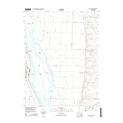
2015 Map of Long Island
USGS Topo · Published 2015About this map
The Mississippi River creates a complex network of islands and side channels at the border of Missouri and Illinois, dominated by the massive landmass of Long Island. This 2015 survey details the intricate hydrology of the floodplain, where the river splits into Smoots Chute and Canton Chute, isolating features like Shandrew Island and Chatton Island. On the Missouri bank, the settlement of La Grange sits at the river's edge, while the Illinois side transitions into more elevated terrain near Ursa. The landscape is defined by the tension between natural water bodies like Indian Grave Lake and human-engineered drainage features such as the Main Ditch. Local history is embedded in the naming of smaller drainage ways and river access points, including Blickhan Landing Area and Harkness Br, reflecting a long-standing reliance on the river for both transport and agriculture.
Find a feature on this map
70 named features on this map. Tap any name to fly to it.
Don’t see what you’re looking for? This feature index may not catch every label — zoom into the map to look around manually.
Map Details
Editions of this 2015 Long Island Map
This is the sole edition of this map. No revisions or reprints were ever made.
Other maps of this area

1903 · Kahoka
USGS Topo · 1:125,000

1903 · Palmyra
USGS Topo · 1:125,000

1925 · Quincy
USGS Topo · 1:62,500

1944 · Quincy
USGS Topo · 1:62,500

1945 · Quincy
USGS Topo · 1:62,500

1946 · Mendon
USGS Topo · 1:62,500

1948 · Quincy
USGS Topo · 1:250,000

1948 · Mendon
USGS Topo · 1:62,500

1949 · Maywood
USGS Topo · 1:24,000
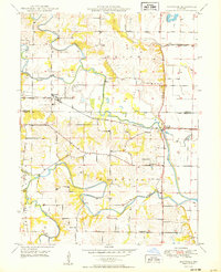
1950 · Maywood
USGS Topo · 1:24,000