
1957 Map of Long Island Marsh SE
USGS Topo · Published 1958About this map
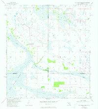
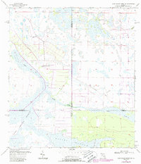
Long Island Marsh dominates this mid-century landscape where the boundaries of DeSoto, Highlands, Charlotte, and Glades counties converge. The terrain is characterized by a complex network of seasonal watercourses and wetlands, including Rainey Slough and the winding Gannet Slough. Human activity is sparse, marked primarily by the Montgomery Ranch and an Old Railroad Grade that cuts across the marshy interior. This 1957 topography reveals a wilderness in transition, where old transportation corridors like the railroad grade were already becoming part of the landscape's history. Smaller features like Tippen Bay and Gator Br suggest the localized geography known to those working this cattle and ranching country.
Find a feature on this map
13 named features on this map. Tap any name to fly to it.
Don’t see what you’re looking for? This feature index may not catch every label — zoom into the map to look around manually.
Map Details
Editions of this 1957 Long Island Marsh SE Map
3 editions found
Other maps of this area

1953 · Venus NW
USGS Topo · 1:24,000

1956 · Telegraph Swamp NE
USGS Topo · 1:24,000

1956 · Telegraph Swamp NW
USGS Topo · 1:24,000

1956 · Long Island Marsh SW
USGS Topo · 1:24,000

1956 · West Palm Beach
USGS Topo · 1:250,000

1956 · Fort Pierce
USGS Topo · 1:250,000

1957 · West Palm Beach
USGS Topo · 1:250,000

1957 · Long Island Marsh NW
USGS Topo · 1:24,000

1957 · Venus SW
USGS Topo · 1:24,000

1957 · Long Island Marsh NE
USGS Topo · 1:24,000