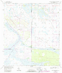
1957 Map of Long Island Marsh SE
USGS Topo · Published 1987About this map
Long Island Marsh dominates this landscape at the intersection of four Florida counties: DeSoto, Highlands, Charlotte, and Glades. This 1957 survey, later updated with mid-1980s data, illustrates the complex hydrology of the region, where water moves through a network of sloughs and bays. Notable water features including Gannet Slough, Rainey Slough, and Tippen Bay define the natural drainage patterns of the area.
Find a feature on this map
14 named features on this map. Tap any name to fly to it.
Don’t see what you’re looking for? This feature index may not catch every label — zoom into the map to look around manually.
Map Details
Editions of this 1957 Long Island Marsh SE Map
3 editions found
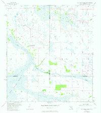
Other maps of this area

1953 · Venus NW
USGS Topo · 1:24,000

1956 · Telegraph Swamp NE
USGS Topo · 1:24,000

1956 · Telegraph Swamp NW
USGS Topo · 1:24,000

1956 · Long Island Marsh SW
USGS Topo · 1:24,000

1956 · West Palm Beach
USGS Topo · 1:250,000

1956 · Fort Pierce
USGS Topo · 1:250,000

1957 · West Palm Beach
USGS Topo · 1:250,000

1957 · Long Island Marsh NW
USGS Topo · 1:24,000

1957 · Long Island Marsh SE
USGS Topo · 1:24,000

1957 · Venus SW
USGS Topo · 1:24,000