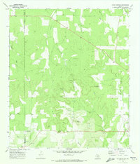
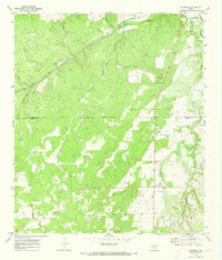
1970 Map of Long Mountain
USGS Topo · Published 1973About this map
Erna and Streeter anchor this Texas landscape along the county boundary between Menard Co and Mason Co. The terrain is defined by the prominent ridge of Long Mountain and nearby heights like Cutoff Mountain and Haystack Mountain. These formations overlook a network of seasonal drainages, including Big Bluff Creek and Leon Creek, which weave through the limestone hills and valleys.
Find a feature on this map
23 named features on this map. Tap any name to fly to it.
Don’t see what you’re looking for? This feature index may not catch every label — zoom into the map to look around manually.
Map Details
Editions of this 1970 Long Mountain Map
2 editions found
Other maps of this area

1887 · Mason
USGS Topo · 1:125,000

1894 · Mason
USGS Topo · 1:125,000

1954 · Llano
USGS Topo · 1:250,000

1955 · Llano
USGS Topo · 1:250,000

1956 · Llano
USGS Topo · 1:250,000
1968 · Turtle Creek
USGS Topo · 1:24,000

1968 · Sheep Run Creek
USGS Topo · 1:24,000

1968 · London
USGS Topo · 1:24,000
1970 · Calf Creek
USGS Topo · 1:24,000
1970 · Katemcy
USGS Topo · 1:24,000