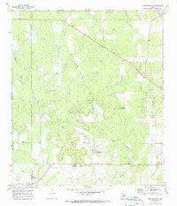
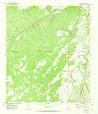
1970 Map of Long Mountain
USGS Topo · Published 1987About this map
Mason and Menard counties meet in this 1970 landscape, where the namesake ridge of Long Mountain dominates the central terrain. The map captures a primarily rural ranching region defined by small, dispersed settlements like Kensing, Streeter, and Erna. Local heritage is anchored by sites such as the Long Mountain Community Center and several family-named burial grounds, including Jacoby Cem and Coffey Cem. The drainage patterns show Tenmile Creek and Leon Creek cutting through the limestone uplands, while prominent elevations like Haystack Mountain and Cutoff Mountain serve as natural landmarks. These features, combined with the presence of Gravel Pit operations, reflect an economy and community structure built around land stewardship and resource extraction on the Edwards Plateau during the mid-twentieth century.
Find a feature on this map
21 named features on this map. Tap any name to fly to it.
Don’t see what you’re looking for? This feature index may not catch every label — zoom into the map to look around manually.
Map Details
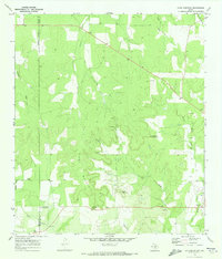
Editions of this 1970 Long Mountain Map
2 editions found
Other maps of this area

1887 · Mason
USGS Topo · 1:125,000

1894 · Mason
USGS Topo · 1:125,000

1954 · Llano
USGS Topo · 1:250,000

1955 · Llano
USGS Topo · 1:250,000

1956 · Llano
USGS Topo · 1:250,000
1968 · Turtle Creek
USGS Topo · 1:24,000

1968 · Sheep Run Creek
USGS Topo · 1:24,000

1968 · London
USGS Topo · 1:24,000
1970 · Calf Creek
USGS Topo · 1:24,000
1970 · Katemcy
USGS Topo · 1:24,000