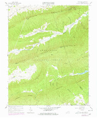
1965 Map of Long Spur
USGS Topo · Published 1978About this map
Walker Mountain and Brushy Mountain dominate this mid-century portrait of southwestern Virginia, where the Jefferson National Forest covers much of the high ground. The community of Long Spur serves as a focal point for local history, supported by the Spur Branch Sch and nearby Davis Ch. The landscape is a complex network of deep hollows like Panther Lick Hollow and Joe Graham Hollow that drain into Walker Creek and its southern fork, Little Walker Creek.
Find a feature on this map
52 named features on this map. Tap any name to fly to it.
Don’t see what you’re looking for? This feature index may not catch every label — zoom into the map to look around manually.
Map Details
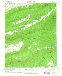
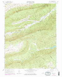
Editions of this 1965 Long Spur Map
Other maps of this area

1887 · Pocahontas
USGS Topo · 1:125,000

1889 · Hillsville
USGS Topo · 1:125,000

1889 · Wytheville
USGS Topo · 1:125,000

1890 · Dublin
USGS Topo · 1:125,000

1891 · Pocahontas
USGS Topo · 1:125,000

1891 · Dublin
USGS Topo · 1:125,000

1892 · Hillsville
USGS Topo · 1:125,000

1892 · Wytheville
USGS Topo · 1:125,000

1894 · Pocahontas
USGS Topo · 1:125,000

1895 · Pocahontas
USGS Topo · 1:125,000