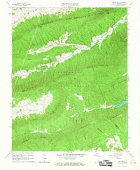
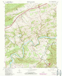
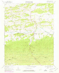
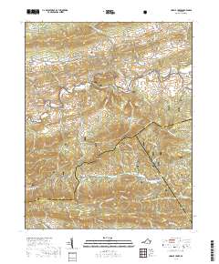
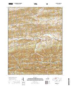
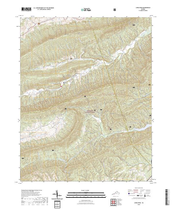
1965 Map of Long Spur
USGS Topo · Published 1967About this map
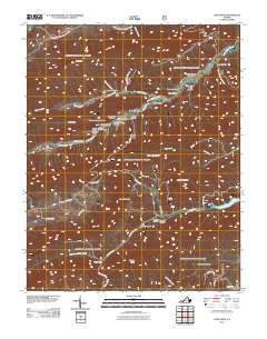
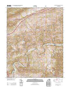
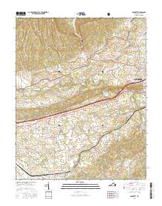
The Jefferson National Forest dominates this mid-1960s landscape, where the ridges of Walker Mountain and Cove Mountain run parallel through the borderlands of Wythe, Pulaski, and Bland counties. Settlement follows the narrow valley floors, specifically along Little Walker Creek, which provides a corridor for small communities like Long Spur. Local life centers around rural institutions such as the Community Center, Spur Branch Sch, and Davis Ch.
Find a feature on this map
47 named features on this map. Tap any name to fly to it.
Don’t see what you’re looking for? This feature index may not catch every label — zoom into the map to look around manually.
Map Details
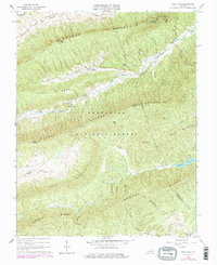
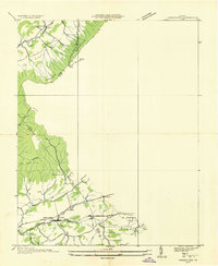
Editions of this 1965 Long Spur Map
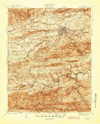
Historical Maps of Pulaski County Through Time
33 maps found

1930 Speedwell
Wythe County, VA
1935 Groseclose
Wythe County, VA
1939 Speedwell
Wythe County, VA
1965 Fosters Falls
Wythe County, VA
1965 Long Spur
Wythe County, VA
1968 Cripple Creek
Wythe County, VA
1968 Crockett
Wythe County, VA
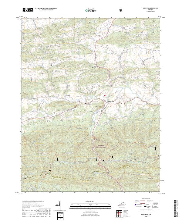
1968 Speedwell
Wythe County, VA
2011 Cripple Creek
Wythe County, VA
2011 Crockett
Wythe County, VA
2011 Fosters Falls
Wythe County, VA
2011 Long Spur
Wythe County, VA
2011 Speedwell
Wythe County, VA
2013 Cripple Creek
Wythe County, VA
2013 Crockett
Wythe County, VA
2013 Fosters Falls
Wythe County, VA
2013 Long Spur
Wythe County, VA
2013 Speedwell
Wythe County, VA
2016 Cripple Creek
Wythe County, VA
2016 Crockett
Wythe County, VA
2016 Fosters Falls
Wythe County, VA
2016 Long Spur
Wythe County, VA
2016 Speedwell
Wythe County, VA
2019 Cripple Creek
Wythe County, VA
2019 Crockett
Wythe County, VA
2019 Fosters Falls
Wythe County, VA
2019 Long Spur
Wythe County, VA
2019 Speedwell
Wythe County, VA
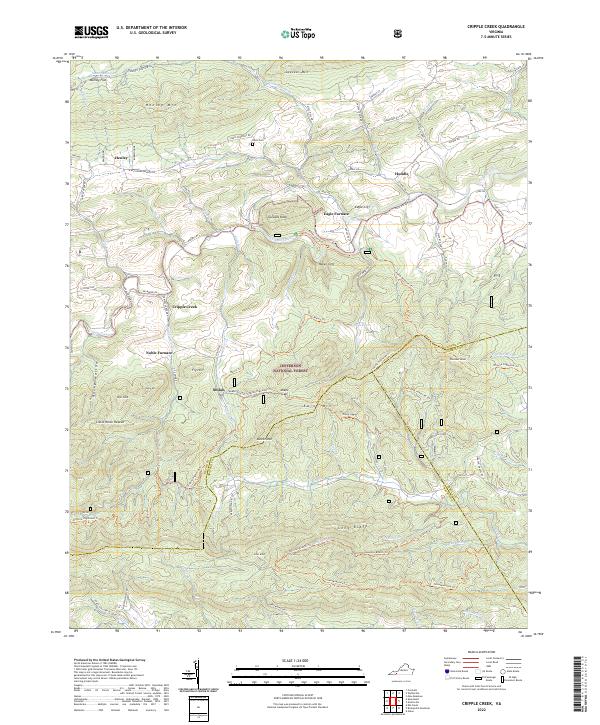
2022 Cripple Creek
Wythe County, VA
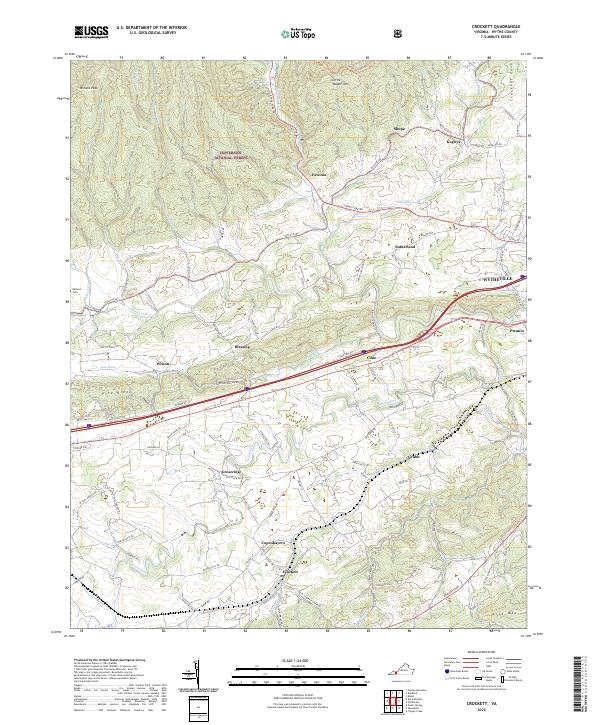
2022 Crockett
Wythe County, VA
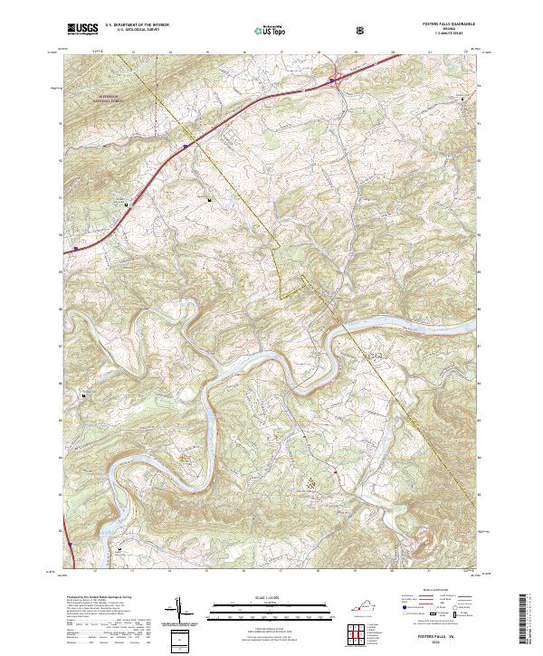
2022 Fosters Falls
Wythe County, VA
2022 Long Spur
Wythe County, VA
2022 Speedwell
Wythe County, VA