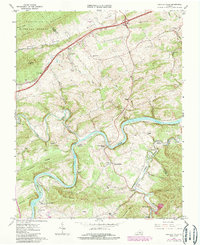
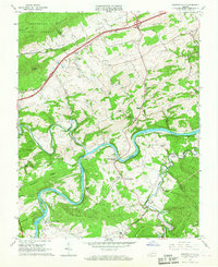
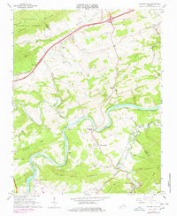
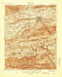
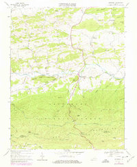
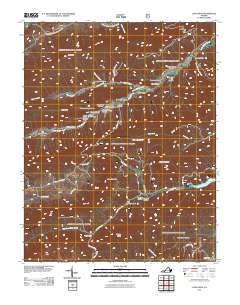
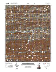
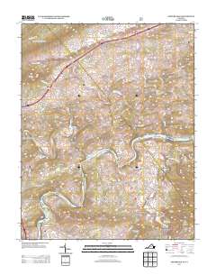
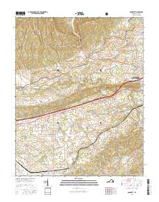
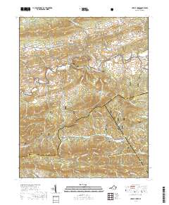
1965 Map of Fosters Falls
USGS Topo · Published 1985About this map
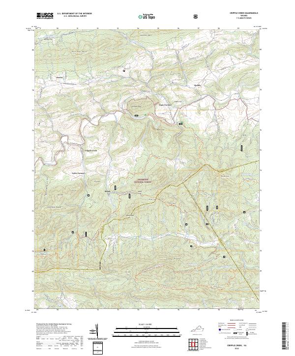
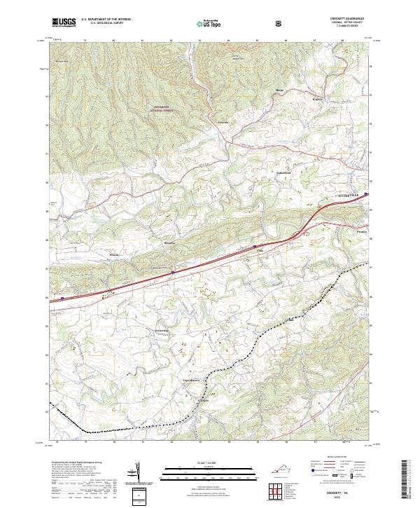
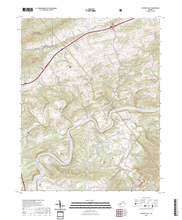
The New River carves a deep, serpentine path through the heart of this Wythe County landscape, dictating the placement of both industry and transit in the mid-1960s. Along its banks, the Norfolk and Western railroad follows the water's curve, serving settlements like Fosters Falls, Barren Springs, and Bertha. The map reveals a legacy of industrial activity tied to the land's mineral wealth, specifically at Boom Furnace and several gravel pits and quarries that dot the terrain.
Find a feature on this map
59 named features on this map. Tap any name to fly to it.
Don’t see what you’re looking for? This feature index may not catch every label — zoom into the map to look around manually.
Map Details
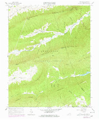
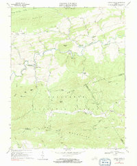
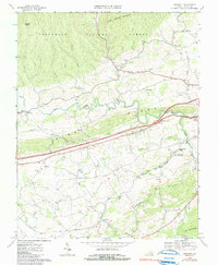
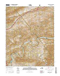
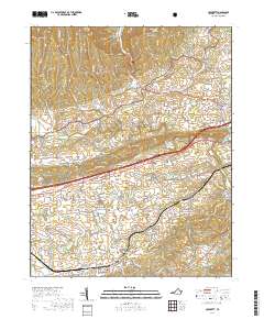
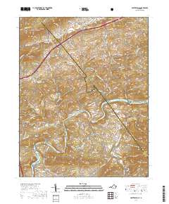
Editions of this 1965 Fosters Falls Map
Historical Maps of Allison Through Time
33 maps found

1930 Speedwell
Wythe County, VA
1935 Groseclose
Wythe County, VA
1939 Speedwell
Wythe County, VA
1965 Fosters Falls
Wythe County, VA
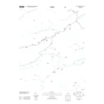
1965 Long Spur
Wythe County, VA
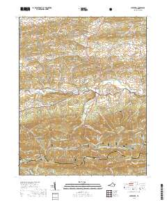
1968 Cripple Creek
Wythe County, VA
1968 Crockett
Wythe County, VA
1968 Speedwell
Wythe County, VA
2011 Cripple Creek
Wythe County, VA
2011 Crockett
Wythe County, VA
2011 Fosters Falls
Wythe County, VA
2011 Long Spur
Wythe County, VA
2011 Speedwell
Wythe County, VA
2013 Cripple Creek
Wythe County, VA
2013 Crockett
Wythe County, VA
2013 Fosters Falls
Wythe County, VA
2013 Long Spur
Wythe County, VA
2013 Speedwell
Wythe County, VA
2016 Cripple Creek
Wythe County, VA
2016 Crockett
Wythe County, VA
2016 Fosters Falls
Wythe County, VA
2016 Long Spur
Wythe County, VA
2016 Speedwell
Wythe County, VA
2019 Cripple Creek
Wythe County, VA
2019 Crockett
Wythe County, VA
2019 Fosters Falls
Wythe County, VA
2019 Long Spur
Wythe County, VA
2019 Speedwell
Wythe County, VA
2022 Cripple Creek
Wythe County, VA
2022 Crockett
Wythe County, VA
2022 Fosters Falls
Wythe County, VA
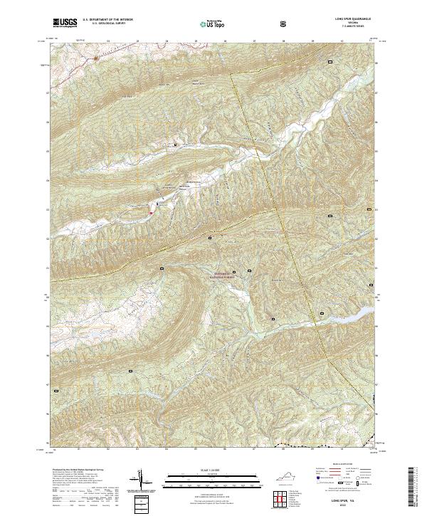
2022 Long Spur
Wythe County, VA
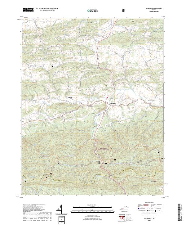
2022 Speedwell
Wythe County, VA