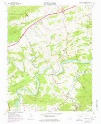
1965 Map of Fosters Falls
USGS Topo · Published 1978About this map
The New River carves a deep, serpentine path through the heart of this Wythe County landscape, dictating the placement of early industry and transport. Along its northern banks, the Norfolk and Western railway snakes through river-bottom settlements like Fosters Falls, Barren Springs, and Lone Ash. The presence of Boom Furnace and several scattered quarries indicates a history of mineral extraction tied to the local geology, while the High Rocks Mill at the southern edge suggests a reliance on water power from Reed Creek.
Find a feature on this map
90 named features on this map. Tap any name to fly to it.
Don’t see what you’re looking for? This feature index may not catch every label — zoom into the map to look around manually.
Map Details
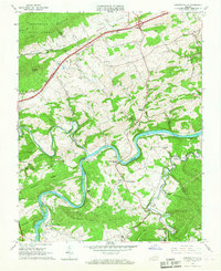
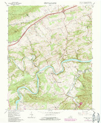
Editions of this 1965 Fosters Falls Map
Other maps of this area

1889 · Hillsville
USGS Topo · 1:125,000

1890 · Dublin
USGS Topo · 1:125,000

1891 · Dublin
USGS Topo · 1:125,000

1892 · Hillsville
USGS Topo · 1:125,000

1896 · Hillsville
USGS Topo · 1:125,000

1930 · Max Meadows
USGS Topo · 1:62,500

1934 · Pulaski
USGS Topo · 1:48,000

1940 · Pulaski
USGS Topo · 1:62,500

1950 · Radford
USGS Topo · 1:62,500

1953 · Winston-Salem
USGS Topo · 1:250,000