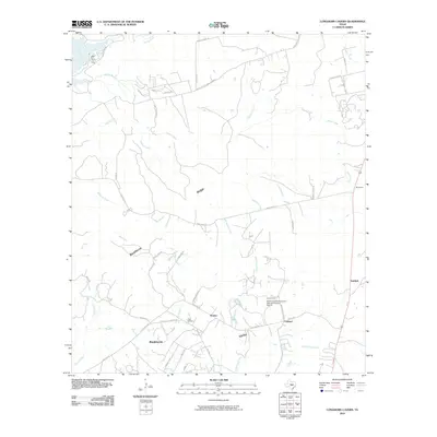
2010 Map of Longhorn Cavern
USGS Topo · Published 2010About this map
Backbone Ridge and the corresponding Backbone Valley dominate this landscape in Burnet County, where the topography is defined by the drainage systems of Backbone Creek, Honey Creek, and Peters Creek. This 2010 survey shows the area's transition into the 21st century, balancing its deep-rooted rural character with modern development. The Austin and Northwestern Railroad Historic District cuts through the southeastern portion of the map, providing a tangible link to the regional transportation history that once centered on the small settlements of Fairland, Scobee, and Sudduth. Genealogy researchers can locate the Tobey Cemetery near the junction of Tobyville Cemetery Rd and Fairland Rd, while the northern reaches of the map capture a bend in the Colorado River and the winding course of Park Rd 4.
Find a feature on this map
58 named features on this map. Tap any name to fly to it.
Don’t see what you’re looking for? This feature index may not catch every label — zoom into the map to look around manually.
Map Details
Editions of this 2010 Longhorn Cavern Map
This is the sole edition of this map. No revisions or reprints were ever made.
Other maps of this area

1887 · Burnet
USGS Topo · 1:125,000

1893 · Burnet
USGS Topo · 1:125,000

1903 · Burnet
USGS Topo · 1:125,000

1909 · Burnet
USGS Topo · 1:125,000

1925 · Burnet 3-b
USGS Topo · 1:48,000
1925 · Burnet 2-c
USGS Topo · 1:48,000

1925 · Burnet 3-d
USGS Topo · 1:48,000

1929 · Marble Falls
USGS Topo · 1:62,500

1931 · Marble Falls
USGS Topo · 1:48,000

1932 · Tow
USGS Topo · 1:62,500