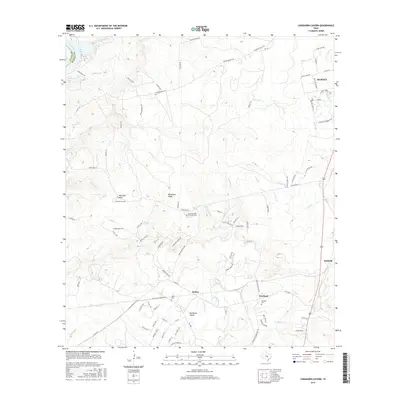
2016 Map of Longhorn Cavern
USGS Topo · Published 2016About this map
Longhorn Cavern and the geological formation known as Sam Bass Arch serve as central landmarks in this pocket of the Texas Hill Country. The terrain is defined by the prominent Backbone Ridge, which overlooks the expansive Backbone Valley to the south. This area, situated along the Llano and Burnet county line, shows a landscape shaped by the Colorado River and Inks Lake in the northwest, transitioning into a network of seasonal creeks like Honey Creek and Backbone Creek.
Find a feature on this map
101 named features on this map. Tap any name to fly to it.
Don’t see what you’re looking for? This feature index may not catch every label — zoom into the map to look around manually.
Map Details
Editions of this 2016 Longhorn Cavern Map
This is the sole edition of this map. No revisions or reprints were ever made.
Other maps of this area

1887 · Burnet
USGS Topo · 1:125,000

1893 · Burnet
USGS Topo · 1:125,000

1903 · Burnet
USGS Topo · 1:125,000

1909 · Burnet
USGS Topo · 1:125,000

1925 · Burnet 3-b
USGS Topo · 1:48,000
1925 · Burnet 2-c
USGS Topo · 1:48,000

1925 · Burnet 3-d
USGS Topo · 1:48,000

1929 · Marble Falls
USGS Topo · 1:62,500

1931 · Marble Falls
USGS Topo · 1:48,000

1932 · Tow
USGS Topo · 1:62,500