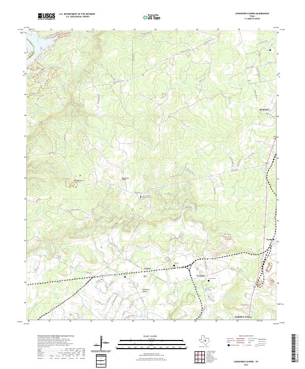
2022 Map of Longhorn Cavern
USGS Topo · Published 2022About this map
Backbone Ridge and the broad Backbone Valley dominate the center of this landscape, illustrating the intricate drainage patterns of the Texas Hill Country. Small, quiet settlements such as Scobee and Fairland are connected by a network of ranch roads and county routes, including the descriptive Tobyville Cemetery Rd and Leaning Tree. The map is particularly useful for genealogical research, identifying multiple burial grounds like the Tobyville Cemetery, Tobey Cem, and Joy Cem.
Find a feature on this map
103 named features on this map. Tap any name to fly to it.
Don’t see what you’re looking for? This feature index may not catch every label — zoom into the map to look around manually.
Map Details
Editions of this 2022 Longhorn Cavern Map
This is the sole edition of this map. No revisions or reprints were ever made.
Other maps of this area

1887 · Burnet
USGS Topo · 1:125,000

1893 · Burnet
USGS Topo · 1:125,000

1903 · Burnet
USGS Topo · 1:125,000

1909 · Burnet
USGS Topo · 1:125,000

1925 · Burnet 3-b
USGS Topo · 1:48,000
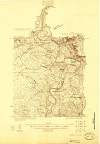
1925 · Burnet 2-c
USGS Topo · 1:48,000

1925 · Burnet 3-d
USGS Topo · 1:48,000

1929 · Marble Falls
USGS Topo · 1:62,500

1931 · Marble Falls
USGS Topo · 1:48,000

1932 · Tow
USGS Topo · 1:62,500