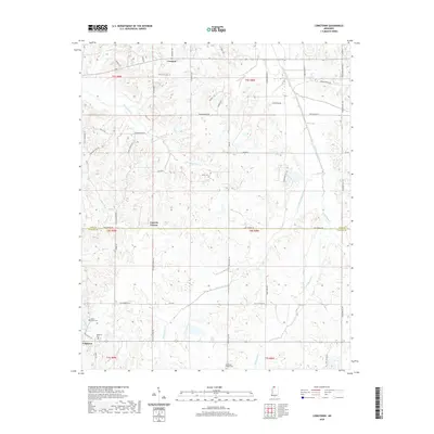
2020 Map of Longtown
USGS Topo · Published 2020About this map
Longtown and the surrounding rural landscapes of Tate and Panola counties are defined by a dense network of local roads and winding waterways. The community of Longtown sits near its namesake Longtown Cem, serving as a focal point for the surrounding agricultural lands. To the north, the settlement of Crockett and the small crossroads at Cypress Corner anchor a terrain crisscrossed by numerous streams, including Strayhorn Cr and the larger Arkabutla Creek. Several historic burial sites, such as Salem Cem, Askew Grove Cem, and Mcgeehees Chapel Cem, are preserved across the quadrangle, reflecting the established family networks of this North Mississippi region. The drainage patterns of Butterbowl Creek and Patent Cr reveal the natural topography that has influenced the placement of longstanding homesteads and connector routes like Brownsferry Rd and Tate Panola Rd.
Find a feature on this map
56 named features on this map. Tap any name to fly to it.
Don’t see what you’re looking for? This feature index may not catch every label — zoom into the map to look around manually.
Map Details
Editions of this 2020 Longtown Map
This is the sole edition of this map. No revisions or reprints were ever made.
Other maps of this area

1932 · Sledge
USGS Topo · 1:48,000

1932 · Crenshaw
USGS Topo · 1:62,500

1935 · Crenshaw
USGS Topo · 1:62,500

1935 · Sledge
USGS Topo · 1:62,500

1939 · Sledge
USGS Topo · 1:62,500

1944 · Senatobia
USGS Topo · 1:62,500

1948 · Helena
USGS Topo · 1:250,000

1950 · Helena
USGS Topo · 1:250,000

1952 · Sardis
USGS Topo · 1:62,500

1953 · Sardis
USGS Topo · 1:62,500