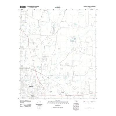
2010 Map of Longview Heights
USGS Topo · Published 2010About this map
Longview's northern expansion and its residential outskirts are visible here as the city transitioned into the 21st century. The map provides a detailed view of the urban and suburban interface, including the Nuggett Hill Historic District and the area around East Side Airport. The landscape is dotted with several small-scale water management features such as Franklin Lake, Williams Lake, and the Clements Lake Number 4 system, reflecting the area's drainage and private land development patterns.
Find a feature on this map
74 named features on this map. Tap any name to fly to it.
Don’t see what you’re looking for? This feature index may not catch every label — zoom into the map to look around manually.
Map Details
Editions of this 2010 Longview Heights Map
This is the sole edition of this map. No revisions or reprints were ever made.
Other maps of this area

1936 · Kilgore
USGS Topo · 1:48,000

1940 · Kilgore
USGS Topo · 1:62,500

1956 · Tyler
USGS Topo · 1:250,000

1958 · Tatum
USGS Topo · 1:62,500

1960 · White Oak
USGS Topo · 1:24,000

1960 · Glenwood
USGS Topo · 1:24,000

1961 · Hallsville
USGS Topo · 1:24,000

1961 · Harleton
USGS Topo · 1:24,000

1962 · Ashland
USGS Topo · 1:24,000

1962 · Longview Heights
USGS Topo · 1:24,000