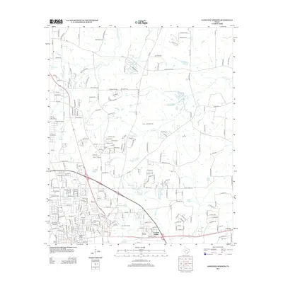
2013 Map of Longview Heights
USGS Topo · Published 2013About this map
Longview Heights and the eastern fringes of the city are defined by a complex network of residential development and industrial infrastructure during the early 21st century. The Union Pacific RR corridor serves as a major transit artery, running parallel to the residential blocks of the Nuggett Hill Historic District. Genealogy and local history are well-represented by several burial grounds, including Memory Park Cem, Grace Hill Cem, and Alpine Cem.
Find a feature on this map
239 named features on this map. Tap any name to fly to it.
Don’t see what you’re looking for? This feature index may not catch every label — zoom into the map to look around manually.
Map Details
Editions of this 2013 Longview Heights Map
This is the sole edition of this map. No revisions or reprints were ever made.
Other maps of this area

1936 · Kilgore
USGS Topo · 1:48,000

1940 · Kilgore
USGS Topo · 1:62,500

1956 · Tyler
USGS Topo · 1:250,000

1958 · Tatum
USGS Topo · 1:62,500

1960 · White Oak
USGS Topo · 1:24,000

1960 · Glenwood
USGS Topo · 1:24,000

1961 · Hallsville
USGS Topo · 1:24,000

1961 · Harleton
USGS Topo · 1:24,000

1962 · Ashland
USGS Topo · 1:24,000

1962 · Longview Heights
USGS Topo · 1:24,000