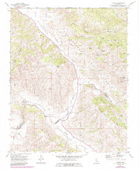
1969 Map of Lonoak
USGS Topo · Published 1984About this map
The San Andreas Rift Zone dominates the central topography of this section of the Diablo Range, separating the high country of Mustang Ridge from the long corridors of Bitterwater Valley and Peachtree Valley. Small settlements and landmarks are concentrated along the winding course of Lonoak Road, including the community of Lonoak and the nearby Tully Hall. The land use reflects a mix of remote ranching and resource extraction, evidenced by several Well sites, a Gravel Pit, and an unnamed Mine near San Lorenzo Creek.
Find a feature on this map
38 named features on this map. Tap any name to fly to it.
Don’t see what you’re looking for? This feature index may not catch every label — zoom into the map to look around manually.
Map Details
Editions of this 1969 Lonoak Map
2 editions found
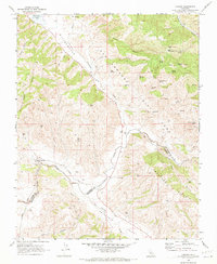
Other maps of this area

1915 · Priest Valley
USGS Topo · 1:125,000

1919 · King City
USGS Topo · 1:62,500

1921 · Metz
USGS Topo · 1:62,500

1939 · King City
USGS Topo · 1:62,500

1940 · Metz
USGS Topo · 1:62,500

1941 · San Ardo
USGS Topo · 1:62,500

1943 · San Ardo
USGS Topo · 1:62,500

1943 · Hernandez Valley
USGS Topo · 1:62,500

1944 · Hernandez Valley
USGS Topo · 1:62,500

1947 · Metz
USGS Topo · 1:62,500