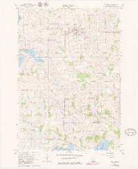
1960 Map of Lonsdale
USGS Topo · Published 1979About this map
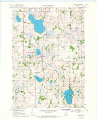
The settlement of Lonsdale serves as the primary hub of this Rice County landscape, situated along the Chicago Milwaukee St Paul and Pacific railroad. The surrounding townships of Wheatland, Webster, Erin, and Forest are characterized by a dense network of small rural schools and parish cemeteries, reflecting a well-established agrarian community during the mid-20th century. Local landmarks like Calvary Hill Cem and the Trondjem Church in the northeast corner highlight the social and spiritual centers of the era.
Find a feature on this map
23 named features on this map. Tap any name to fly to it.
Don’t see what you’re looking for? This feature index may not catch every label — zoom into the map to look around manually.
Map Details
Editions of this 1960 Lonsdale Map
2 editions found
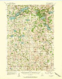
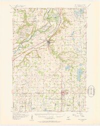
Other maps of this area

1953 · Saint Paul
USGS Topo · 1:250,000
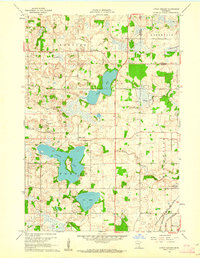
1957 · Prior Lake
USGS Topo · 1:62,500
1957 · New Prague
USGS Topo · 1:62,500

1959 · Saint Paul
USGS Topo · 1:250,000
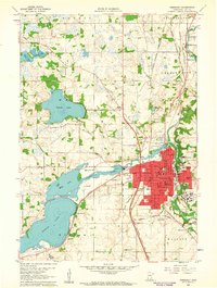
1960 · Faribault
USGS Topo · 1:24,000
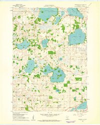
1960 · Shieldsville
USGS Topo · 1:24,000
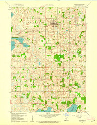
1960 · Lonsdale
USGS Topo · 1:24,000
1960 · Little Chicago
USGS Topo · 1:24,000
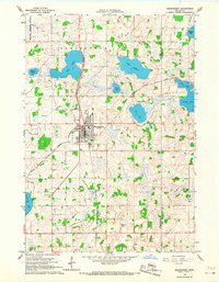
1966 · Montgomery
USGS Topo · 1:24,000
1966 · Kilkenny
USGS Topo · 1:24,000