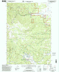
1992 Map of Lookout Mountain
USGS Topo · Published 1997About this map
Ochoco National Forest defines this high-elevation landscape in Crook County, where the prominent ridgeline of Lookout Mountain and the distinct volcanic peak of Winter Butte overlook a complex network of drainage basins and mountain prairies. The map records a legacy of resource extraction, noting the Amity Mine, several unnamed quarries, and a Gravel Pit, alongside an Open Pit Mine and a Prospect Tunnel. These features indicate the region's geological significance beyond its timber value.
Find a feature on this map
38 named features on this map. Tap any name to fly to it.
Don’t see what you’re looking for? This feature index may not catch every label — zoom into the map to look around manually.
Map Details
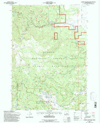
Editions of this 1992 Lookout Mountain Map
2 editions found
Other maps of this area

1951 · Post
USGS Topo · 1:62,500

1951 · Lookout Mtn
USGS Topo · 1:62,500

1955 · Bend
USGS Topo · 1:250,000

1957 · Bend
USGS Topo · 1:250,000

1958 · Bend
USGS Topo · 1:250,000

1965 · Williams Prairie
USGS Topo · 1:24,000

1966 · Mt. Pisgah
USGS Topo · 1:24,000

1981 · Prineville
USGS Topo · 1:100,000
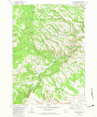
1983 · Committee Creek
USGS Topo · 1:24,000
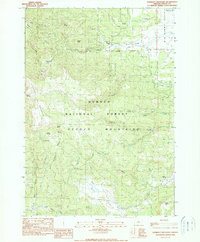
1990 · Lookout Mountain
USGS Topo · 1:24,000