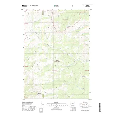
2017 Map of Lookout Mountain
USGS Topo · Published 2017About this map
Bridger National Forest and Teton National Forest dominate this high-altitude landscape along the border of Lincoln and Sublette Counties. The terrain is defined by dramatic peaks and passes, including Mt McDougal and the aptly named Gunsight Pass in the southwest. A complex drainage system feeds into the S Fork Hoback River and S Beaver Rim, with numerous named waterways such as N Horse Creek and S Horse Creek carving through the mountain ranges. Beartrap Junction serves as a notable interior reference point within the forest lands, while the Wy Range Nat Rec Trail and Wyoming Range NRT Section M highlight the long-standing recreational and migratory pathways established through this wilderness during the early twenty-first century.
Find a feature on this map
46 named features on this map. Tap any name to fly to it.
Don’t see what you’re looking for? This feature index may not catch every label — zoom into the map to look around manually.
Map Details
Editions of this 2017 Lookout Mountain Map
This is the sole edition of this map. No revisions or reprints were ever made.
Other maps of this area

1907 · Gros Ventre
USGS Topo · 1:125,000

1910 · Gros Ventre
USGS Topo · 1:125,000

1921 · Afton
USGS Topo · 1:125,000

1931 · Jackson
USGS Topo · 1:125,000

1935 · Jackson
USGS Topo · 1:125,000

1939 · Big Piney
USGS Topo · 1:125,000

1942 · Big Piney
USGS Topo · 1:125,000

1955 · Driggs
USGS Topo · 1:250,000

1955 · Preston
USGS Topo · 1:250,000

1958 · Driggs
USGS Topo · 1:250,000