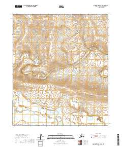
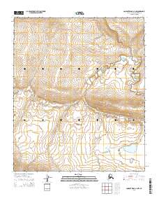
2020 Map of Lookout Ridge A-4 NE
USGS Topo · Published 2020About this map
Awuna River meanders across this northern landscape, following a sinuous path through a series of townships including t3s r25w and t2s r25w. This 2020 digital survey highlights the intricate drainage patterns of the North Slope, where the water systems dictate the natural structure of the land. In the southeastern corner, the Lookout River enters the frame, marking a distinct watershed boundary within the broader coastal plain topography. The map's reliance on township and range lines provides a precise grid for modern land management and geographical study in this unpopulated expanse of Alaska.
Find a feature on this map
11 named features on this map. Tap any name to fly to it.
Don’t see what you’re looking for? This feature index may not catch every label — zoom into the map to look around manually.
Map Details
Editions of this 2020 Lookout Ridge A-4 NE Map
This is the sole edition of this map. No revisions or reprints were ever made.
Other maps of this area

1951 · Lookout Ridge
USGS Topo · 1:250,000

1956 · Lookout Ridge
USGS Topo · 1:250,000
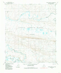
1984 · Lookout Ridge A-4
USGS Topo · 1:63,360
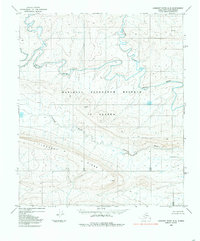
1984 · Lookout Ridge A-3
USGS Topo · 1:63,360
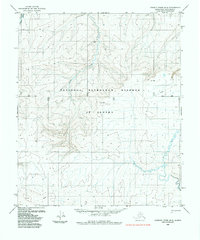
1985 · Lookout Ridge B-4
USGS Topo · 1:63,360
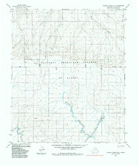
1985 · Lookout Ridge B-3
USGS Topo · 1:63,360
2015 · Lookout Ridge B-3 SW
USGS Topo · 1:25,000
2015 · Lookout Ridge A-3 NW
USGS Topo · 1:25,000
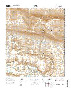
2015 · Lookout Ridge A-4 SW
USGS Topo · 1:25,000
2015 · Lookout Ridge A-4 NW
USGS Topo · 1:25,000