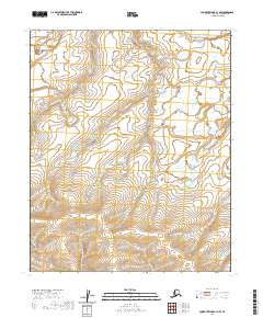
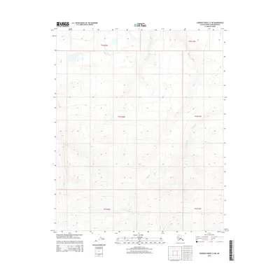
2020 Map of Lookout Ridge C-1 NW
USGS Topo · Published 2020About this map
Topagoruk River meanders across this northern landscape, defining the hydrology of an area marked by low-lying drainages and seasonal watercourses. The territory is defined by the intersections of several townships, including t4n r19w and t5n r18w, illustrating the vast grid system applied to the North Slope. In the southeastern portion of the quadrangle, the Oumalik River and the smaller Ishuktak Cr shape the local terrain, offering a look at the natural drainage patterns of this remote region prior to any significant infrastructure development. The absence of roads or permanent settlements in this 2020 survey highlights the untouched character of the wilderness, where the movement of water remains the primary agent of change on the land.
Find a feature on this map
9 named features on this map. Tap any name to fly to it.
Don’t see what you’re looking for? This feature index may not catch every label — zoom into the map to look around manually.
Map Details
Editions of this 2020 Lookout Ridge C-1 NW Map
This is the sole edition of this map. No revisions or reprints were ever made.
Other maps of this area

1951 · Lookout Ridge
USGS Topo · 1:250,000

1956 · Lookout Ridge
USGS Topo · 1:250,000
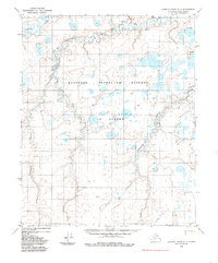
1984 · Lookout Ridge D-1
USGS Topo · 1:63,360
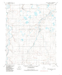
1984 · Lookout Ridge D-2
USGS Topo · 1:63,360
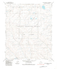
1985 · Lookout Ridge C-1
USGS Topo · 1:63,360
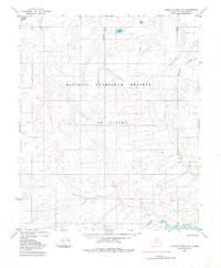
1985 · Lookout Ridge C-2
USGS Topo · 1:63,360
2015 · Lookout Ridge C-1 SE
USGS Topo · 1:25,000
2015 · Lookout Ridge D-2 SE
USGS Topo · 1:25,000
2015 · Lookout Ridge D-1 SW
USGS Topo · 1:25,000
2015 · Lookout Ridge C-2 NE
USGS Topo · 1:25,000