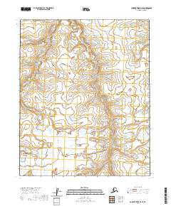
2020 Map of Lookout Ridge D-2 SE
USGS Topo · Published 2020About this map
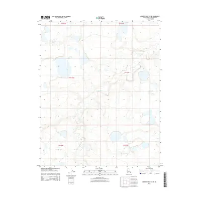
The Usuktuk River winds through the northwest corner of this Arctic landscape, cutting across the township boundaries of t6n r20w and t6n r19w. This particular section of the North Slope reflects a stark, unpopulated wilderness where the topography is defined by subtle elevation changes and the meandering path of the river rather than human development. The absence of roads or permanent structures within t5n r20w and t5n r19w underscores the isolation of this region in the early twenty-first century, serving as a primary baseline for modern environmental and geological studies in the Alaskan interior.
Find a feature on this map
5 named features on this map. Tap any name to fly to it.
Don’t see what you’re looking for? This feature index may not catch every label — zoom into the map to look around manually.
Map Details
Editions of this 2020 Lookout Ridge D-2 SE Map
This is the sole edition of this map. No revisions or reprints were ever made.
Other maps of this area

1951 · Lookout Ridge
USGS Topo · 1:250,000

1956 · Lookout Ridge
USGS Topo · 1:250,000
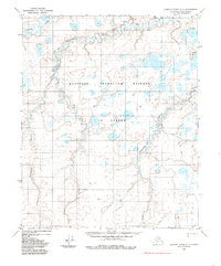
1984 · Lookout Ridge D-1
USGS Topo · 1:63,360
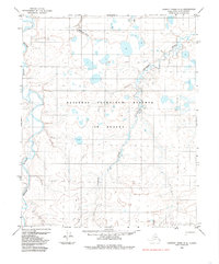
1984 · Lookout Ridge D-2
USGS Topo · 1:63,360
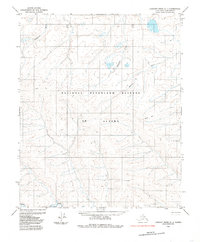
1985 · Lookout Ridge C-1
USGS Topo · 1:63,360
1985 · Lookout Ridge C-2
USGS Topo · 1:63,360
2015 · Lookout Ridge D-2 SE
USGS Topo · 1:25,000
2015 · Lookout Ridge D-1 SW
USGS Topo · 1:25,000
2015 · Lookout Ridge C-2 NE
USGS Topo · 1:25,000
2015 · Lookout Ridge D-2 NE
USGS Topo · 1:25,000