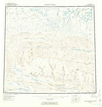
1956 Map of Lookout Ridge
USGS Topo · Published 1959About this map
Naval Petroleum Reserve No 4 dominates this mid-century portrait of the Arctic slope, a vast expanse of unpopulated terrain defined by complex drainage systems and high ridges. The landscape is structured by prominent geological features such as Shaningarok Ridge and Lookout Ridge, which serve as the primary landmarks in an area nearly devoid of permanent settlements. A series of rivers including the Meade River, Awuna River, and Colville River carve through the tundra, following ancient courses that define the regional hydrology. A singular Tractor Trail provides a rare thread of human transit across the northern reaches, winding through the plains toward the Avalik River. Numerous vertical angle bench marks (VABM), including VABM 1360 Birthday and VABM 1743 Roost, indicate the extensive aerial photogrammetric surveying efforts required to map this interior region between Birthday Pass and the distant northern horizons.
Find a feature on this map
62 named features on this map. Tap any name to fly to it.
Don’t see what you’re looking for? This feature index may not catch every label — zoom into the map to look around manually.
Map Details
Editions of this 1956 Lookout Ridge Map
5 editions found

Other maps of this area

1951 · Utukok River
USGS Topo · 1:250,000

1951 · Meade River
USGS Topo · 1:250,000

1951 · Wainwright
USGS Topo · 1:250,000

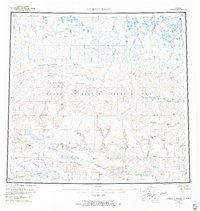
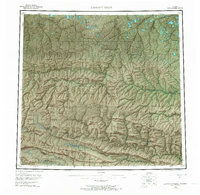
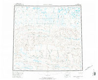
1951 · Lookout Ridge
USGS Topo · 1:250,000

1951 · Teshekpuk
USGS Topo · 1:250,000

1951 · Ikpikpuk River
USGS Topo · 1:250,000

1951 · Howard Pass
USGS Topo · 1:250,000

1951 · Misheguk Mountain
USGS Topo · 1:250,000

1951 · Killik River
USGS Topo · 1:250,000

1955 · Teshekpuk
USGS Topo · 1:250,000