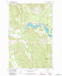
1966 Map of Loon Lake
USGS Topo · Published 1984About this map
Kootenai National Forest dominates this mountain landscape, where the Fisher River winds through the Pleasant Valley. This 1960s survey, with later revisions, shows a region defined by its dense cluster of glacial lakes and isolated settlements. The community of Happys Inn serves as a lone outpost along U.S. 2, marking a vital transit point between the valley floor and the surrounding ridges.
Find a feature on this map
28 named features on this map. Tap any name to fly to it.
Don’t see what you’re looking for? This feature index may not catch every label — zoom into the map to look around manually.
Map Details
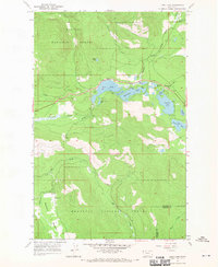
Editions of this 1966 Loon Lake Map
2 editions found
Other maps of this area

1920 · Jennings
USGS Topo · 1:125,000

1935 · Thompson Lakes
USGS Topo · 1:96,000

1937 · Thompson Falls
USGS Topo · 1:125,000

1942 · Thompson Lakes
USGS Topo · 1:125,000

1956 · Wallace
USGS Topo · 1:250,000

1957 · Kalispell
USGS Topo · 1:250,000

1960 · Kalispell
USGS Topo · 1:250,000

1960 · Wallace
USGS Topo · 1:250,000

1961 · Kalispell
USGS Topo · 1:250,000
1966 · Fisher Mountain
USGS Topo · 1:24,000