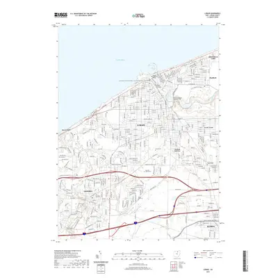
2019 Map of Lorain
USGS Topo · Published 2019About this map
Lake Erie defines the northern reaches of this coastal industrial corridor, where the Black River winds through a landscape of heavy industry and established neighborhoods. The twin spans of the Charles Berry Bascule Bridge and the Lofton Henderson Memorial Bridge link the heart of Lorain, while the surrounding topography reveals a dense network of suburban expansion and historical burial grounds. Notable sites like Elmwood Cem and Calvary Park provide open spaces amidst the gridded streets of South Lorain and Penfield Junction.
Find a feature on this map
159 named features on this map. Tap any name to fly to it.
Don’t see what you’re looking for? This feature index may not catch every label — zoom into the map to look around manually.
Map Details
Editions of this 2019 Lorain Map
This is the sole edition of this map. No revisions or reprints were ever made.
Other maps of this area

1901 · Oberlin
USGS Topo · 1:62,500

1903 · Vermilion
USGS Topo · 1:62,500

1903 · Oberlin
USGS Topo · 1:62,500

1953 · Grafton
USGS Topo · 1:24,000

1953 · Avon
USGS Topo · 1:24,000

1956 · Toledo
USGS Topo · 1:250,000

1959 · Vermilion East
USGS Topo · 1:24,000

1959 · Kipton
USGS Topo · 1:24,000

1960 · Oberlin
USGS Topo · 1:24,000
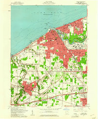
1960 · Lorain
USGS Topo · 1:24,000