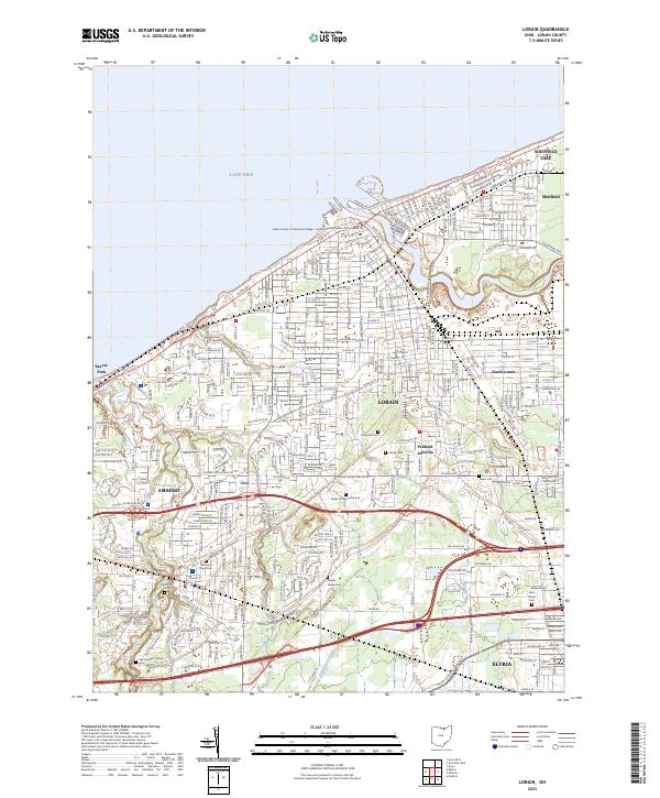
2023 Map of Lorain
USGS Topo · Published 2023About this map
Lake Erie defines the northern reaches of this coastal landscape, where the Black River snakes through the urban center of Lorain. The industrial and residential character of the early 21st century is evident in the dense street grids connecting neighborhoods like South Lorain and Penfield Junction. Extensive cemetery sites such as Elmwood Cem, Middle Ridge Cem, and Saint Joseph Catholic Cem provide significant points of interest for those researching local history and genealogy. Along the western edge, the mouth of Beaver Creek and the settlement of Beaver Park illustrate the transition from urban industry to suburban lakefront living. Further south, the map details the edges of Amherst and Elyria, documenting the continued importance of the Black River valley and its surrounding drainage systems like Battenhouse Ditch in shaping the regional infrastructure.
Find a feature on this map
40 named features on this map. Tap any name to fly to it.
Don’t see what you’re looking for? This feature index may not catch every label — zoom into the map to look around manually.
Map Details
Editions of this 2023 Lorain Map
This is the sole edition of this map. No revisions or reprints were ever made.
Other maps of this area

1901 · Oberlin
USGS Topo · 1:62,500

1903 · Vermilion
USGS Topo · 1:62,500

1903 · Oberlin
USGS Topo · 1:62,500

1953 · Grafton
USGS Topo · 1:24,000

1953 · Avon
USGS Topo · 1:24,000

1956 · Toledo
USGS Topo · 1:250,000

1959 · Vermilion East
USGS Topo · 1:24,000

1959 · Kipton
USGS Topo · 1:24,000

1960 · Oberlin
USGS Topo · 1:24,000
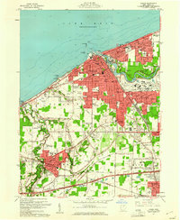
1960 · Lorain
USGS Topo · 1:24,000