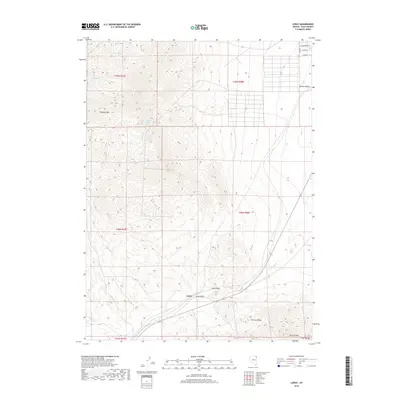
2018 Map of Loray
USGS Topo · Published 2018About this map
Loray sits at the nexus of high desert drainage and mountain passes, where the Loray Draw and Loray Wash cut through the high basin. The landscape is defined by significant relief, with Murdock Mtn rising to the northwest and the northern reaches of the Toano Range and Leach Range visible to the south. This 2018 survey illustrates a transition from the structured residential grid in the northeast—featuring Cottonwood St and Sage Dr in Tecoma Valley—to the expansive, unpopulated Great Basin terrain. Water sources are scarce but critical, marked by several named points including South Spring, Boyd Spring, and Murdock Springs, indicating the historical importance of these locations for livestock and travel through North Pass.
Find a feature on this map
20 named features on this map. Tap any name to fly to it.
Don’t see what you’re looking for? This feature index may not catch every label — zoom into the map to look around manually.
Map Details
Editions of this 2018 Loray Map
This is the sole edition of this map. No revisions or reprints were ever made.
Other maps of this area

1955 · Wells
USGS Topo · 1:250,000

1958 · Wells
USGS Topo · 1:250,000

1961 · Wells
USGS Topo · 1:250,000

1967 · Valley Pass
USGS Topo · 1:24,000

1967 · Loray
USGS Topo · 1:24,000

1967 · Montello Canyon
USGS Topo · 1:24,000

1967 · Montello
USGS Topo · 1:24,000
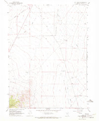
1967 · Pilot Peak NW
USGS Topo · 1:24,000
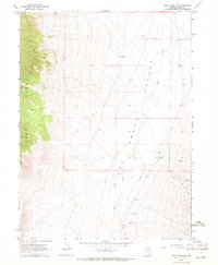
1967 · Pilot Peak SW
USGS Topo · 1:24,000

1967 · Ninemile Mtn SW
USGS Topo · 1:24,000