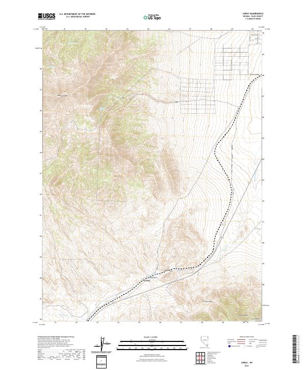
2021 Map of Loray
USGS Topo · Published 2021About this map
Murdock Mtn anchors this arid Elko County landscape, where the high desert terrain transitions between the Toano Range and the Leach Range. The settlement of Loray is situated along the southern edge of Tecoma Valley, marking a point of human presence in a territory defined by seasonal water sources and natural corridors. Loray Draw and Loray Wash illustrate the complex drainage patterns of the region, carrying runoff toward the valley floor.
Find a feature on this map
20 named features on this map. Tap any name to fly to it.
Don’t see what you’re looking for? This feature index may not catch every label — zoom into the map to look around manually.
Map Details
Editions of this 2021 Loray Map
This is the sole edition of this map. No revisions or reprints were ever made.
Other maps of this area

1955 · Wells
USGS Topo · 1:250,000

1958 · Wells
USGS Topo · 1:250,000

1961 · Wells
USGS Topo · 1:250,000

1967 · Valley Pass
USGS Topo · 1:24,000

1967 · Loray
USGS Topo · 1:24,000

1967 · Montello Canyon
USGS Topo · 1:24,000

1967 · Montello
USGS Topo · 1:24,000
1967 · Pilot Peak NW
USGS Topo · 1:24,000
1967 · Pilot Peak SW
USGS Topo · 1:24,000

1967 · Ninemile Mtn SW
USGS Topo · 1:24,000